St. Augustine GLO Maps
Back to: Map Links Page / Main Archival Links Page
See also: Historic Pensacola Topographic Maps
See other GLO maps: Pensacola / Pensacola East / FL-AL Border (West / Central / East)
Apalachicola / Apalachee / Yustaga / Timucua / Potano / St. Johns West / St. Augustine
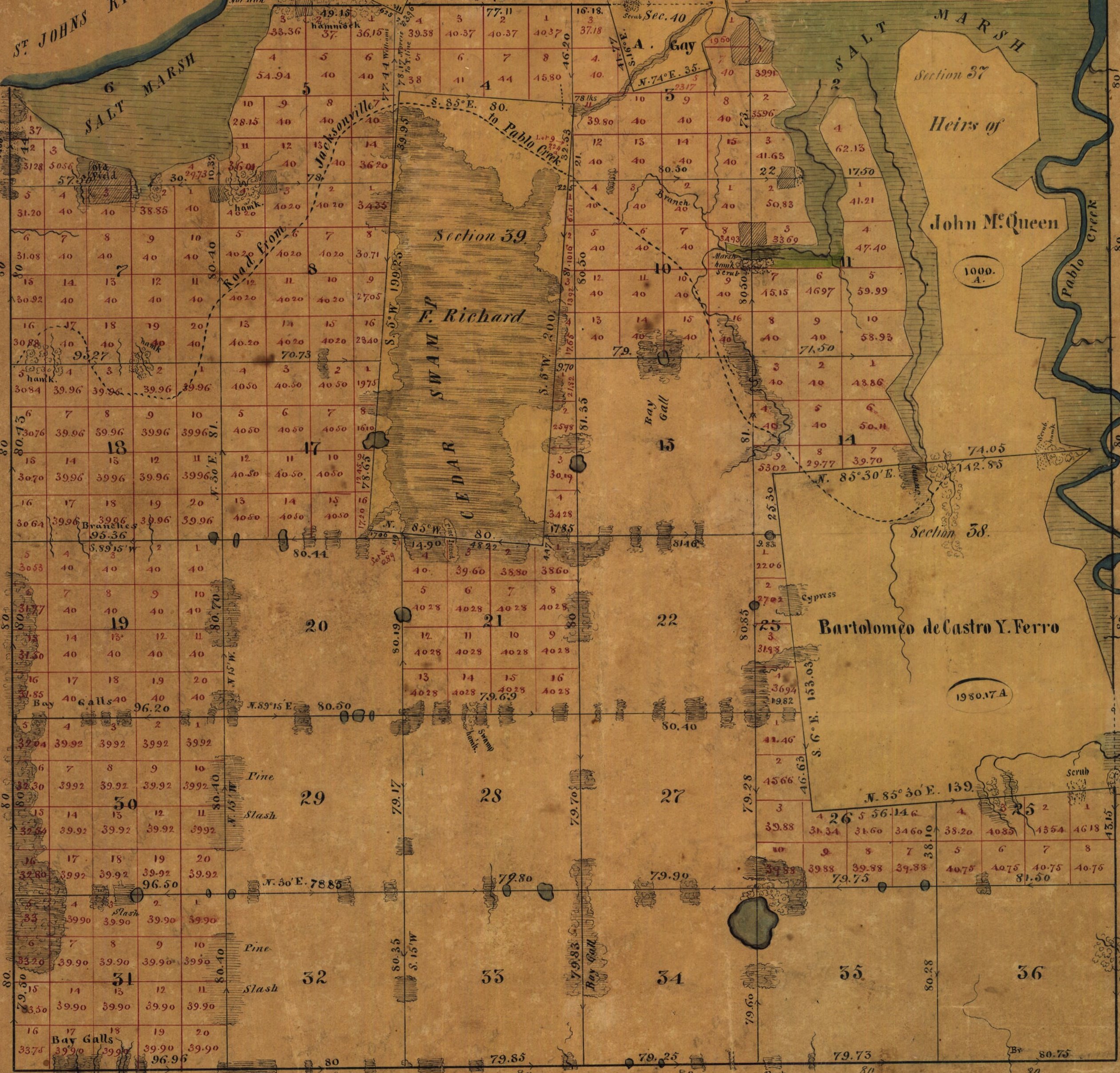
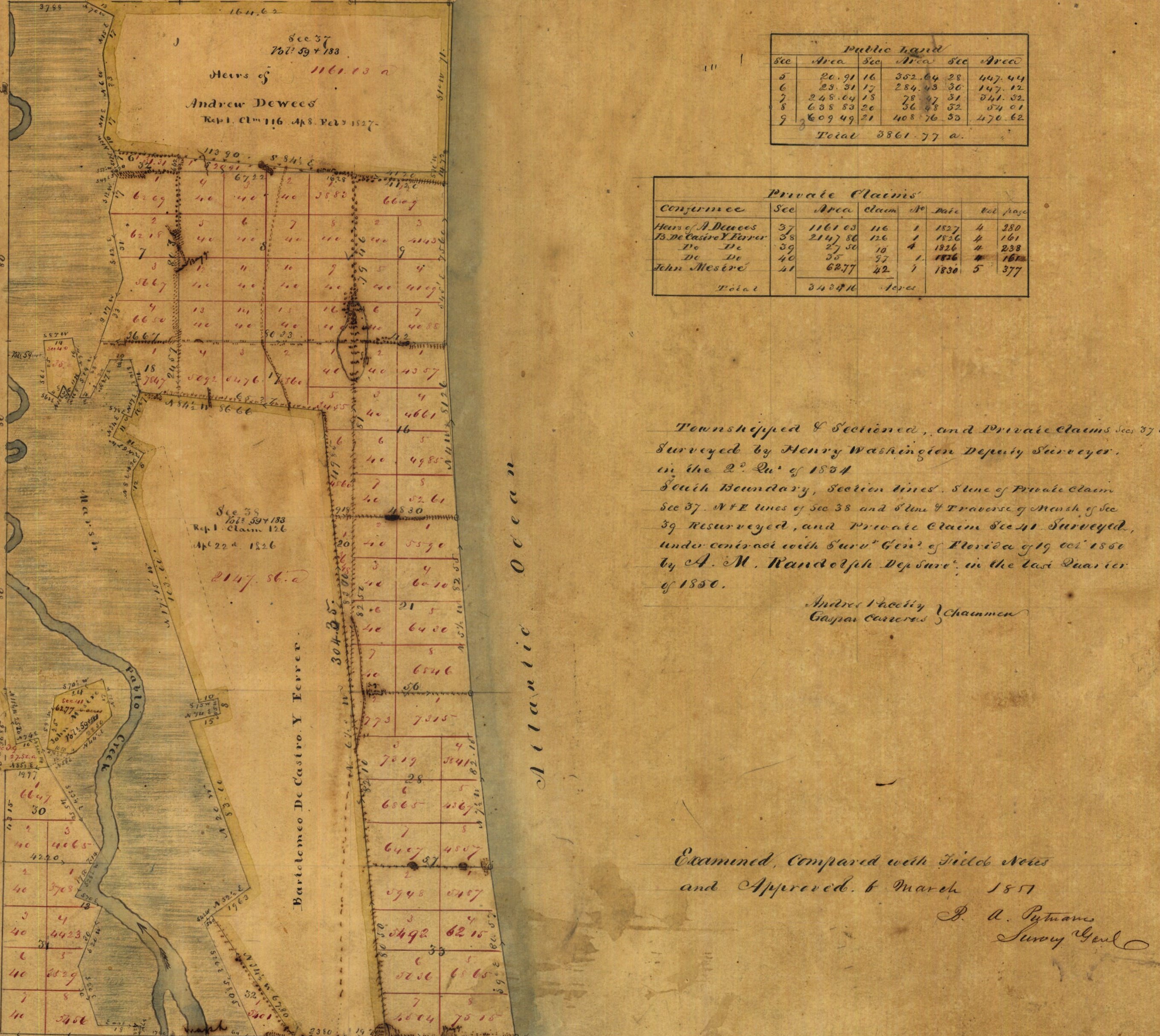
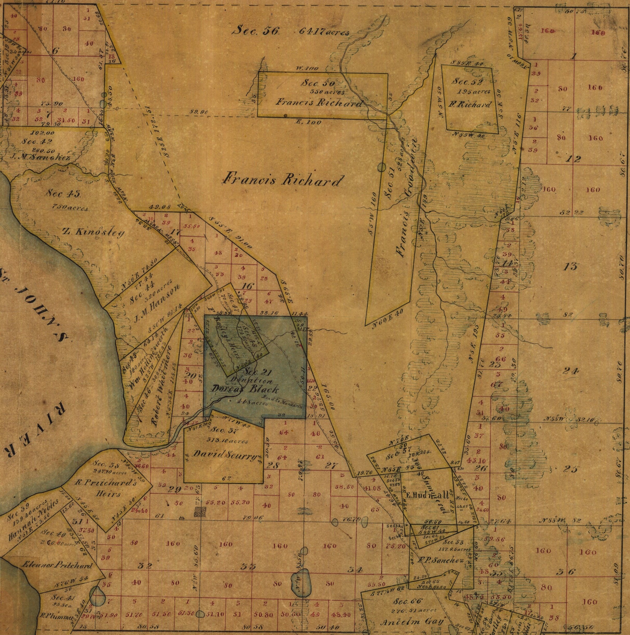
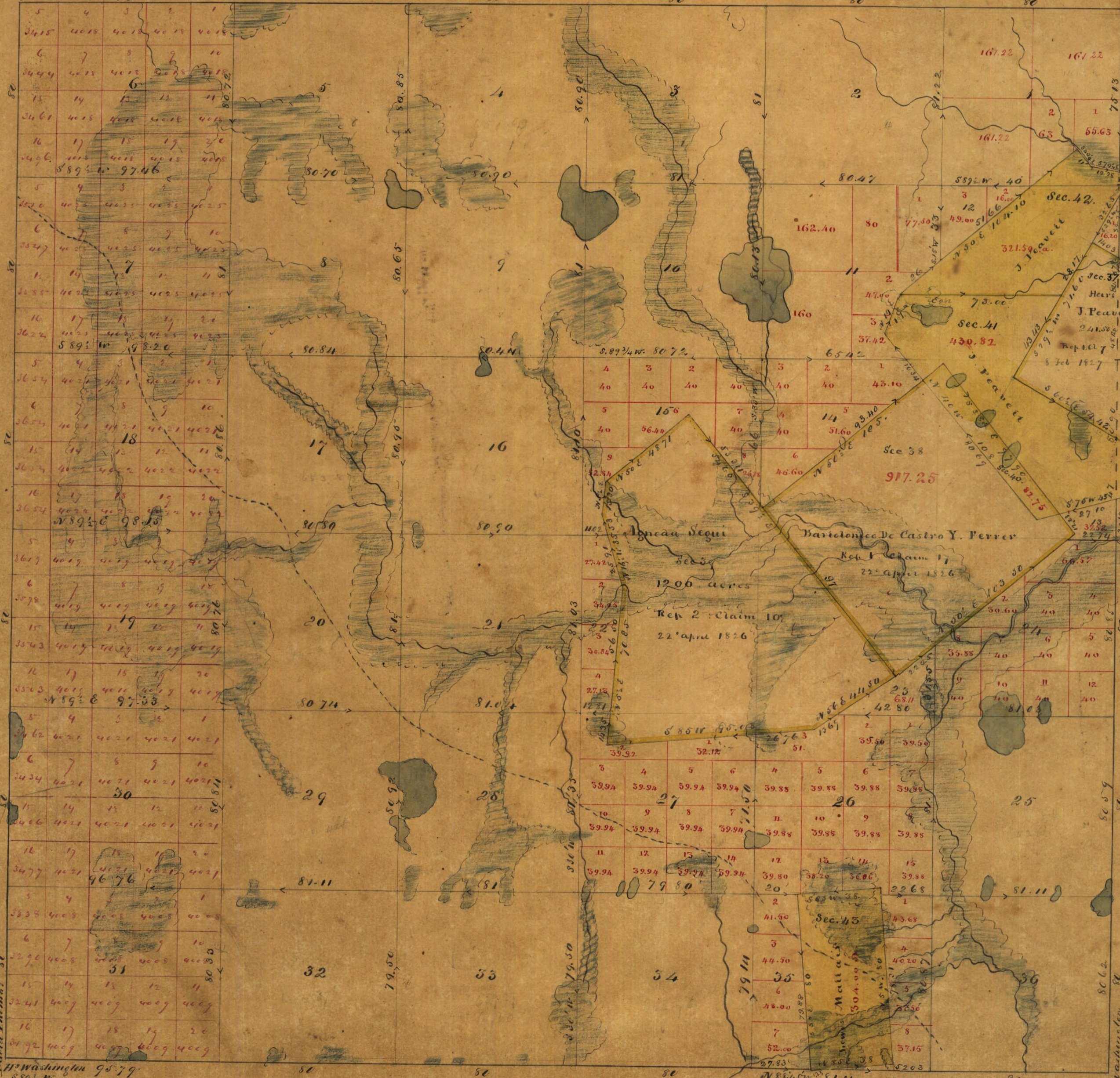
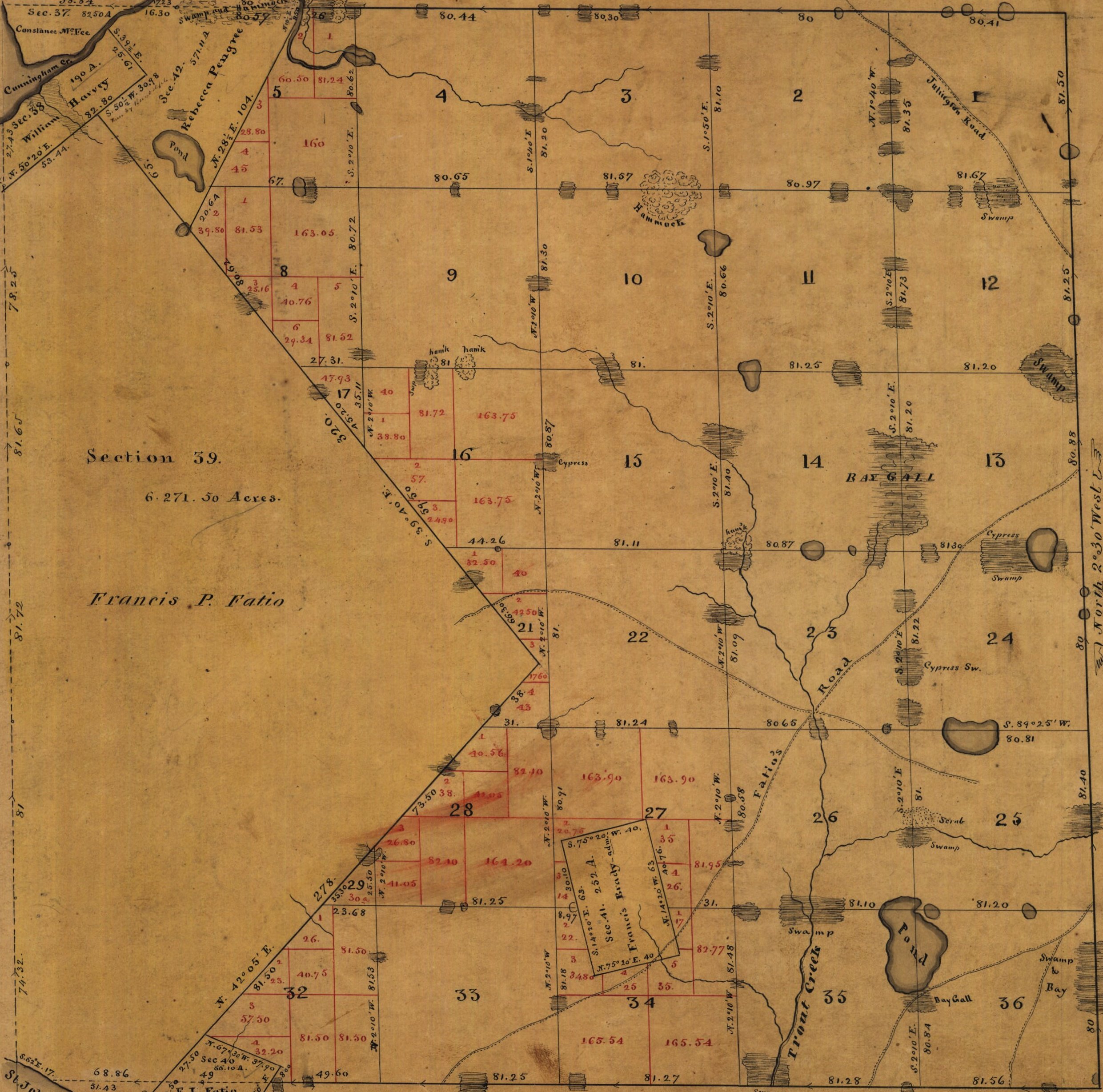
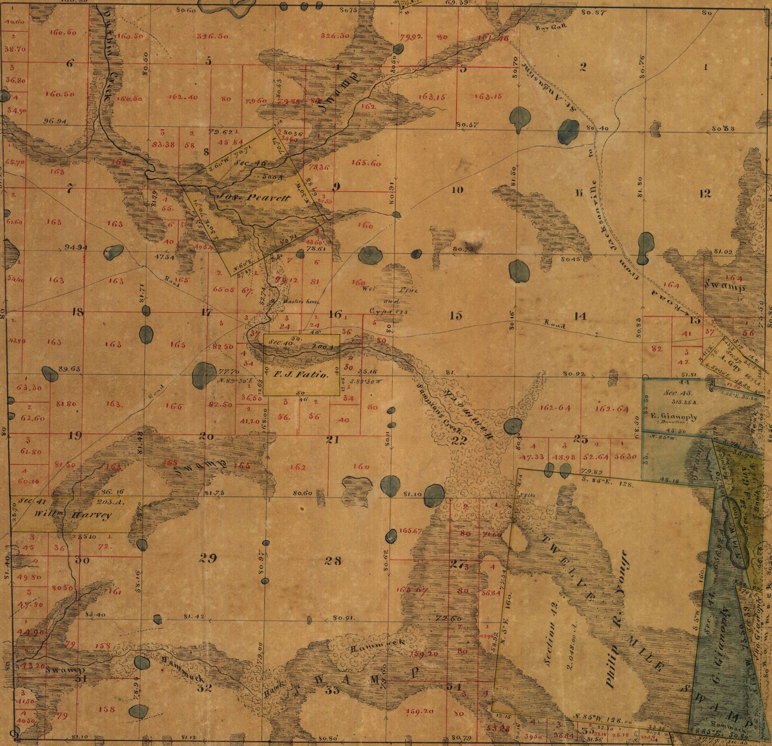
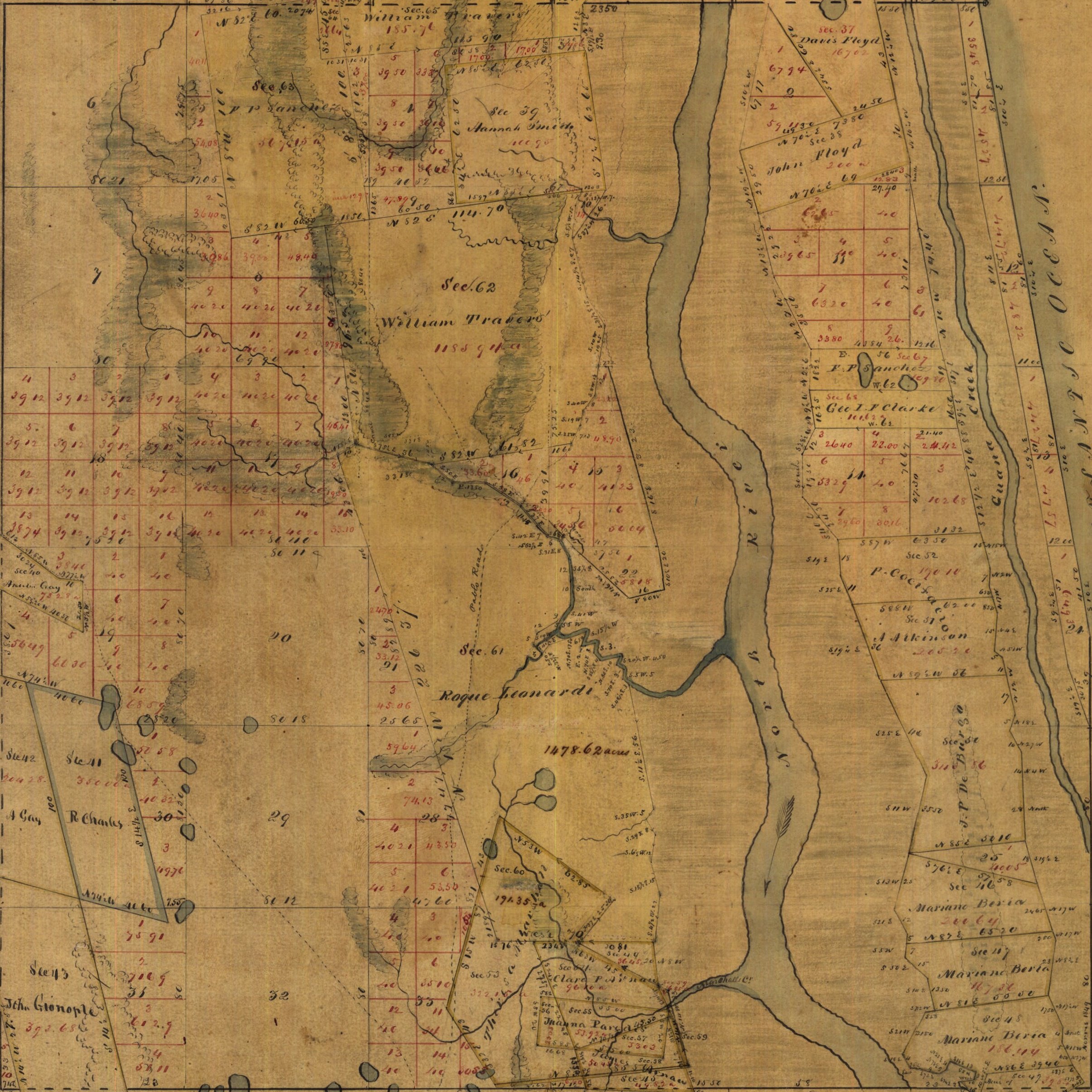
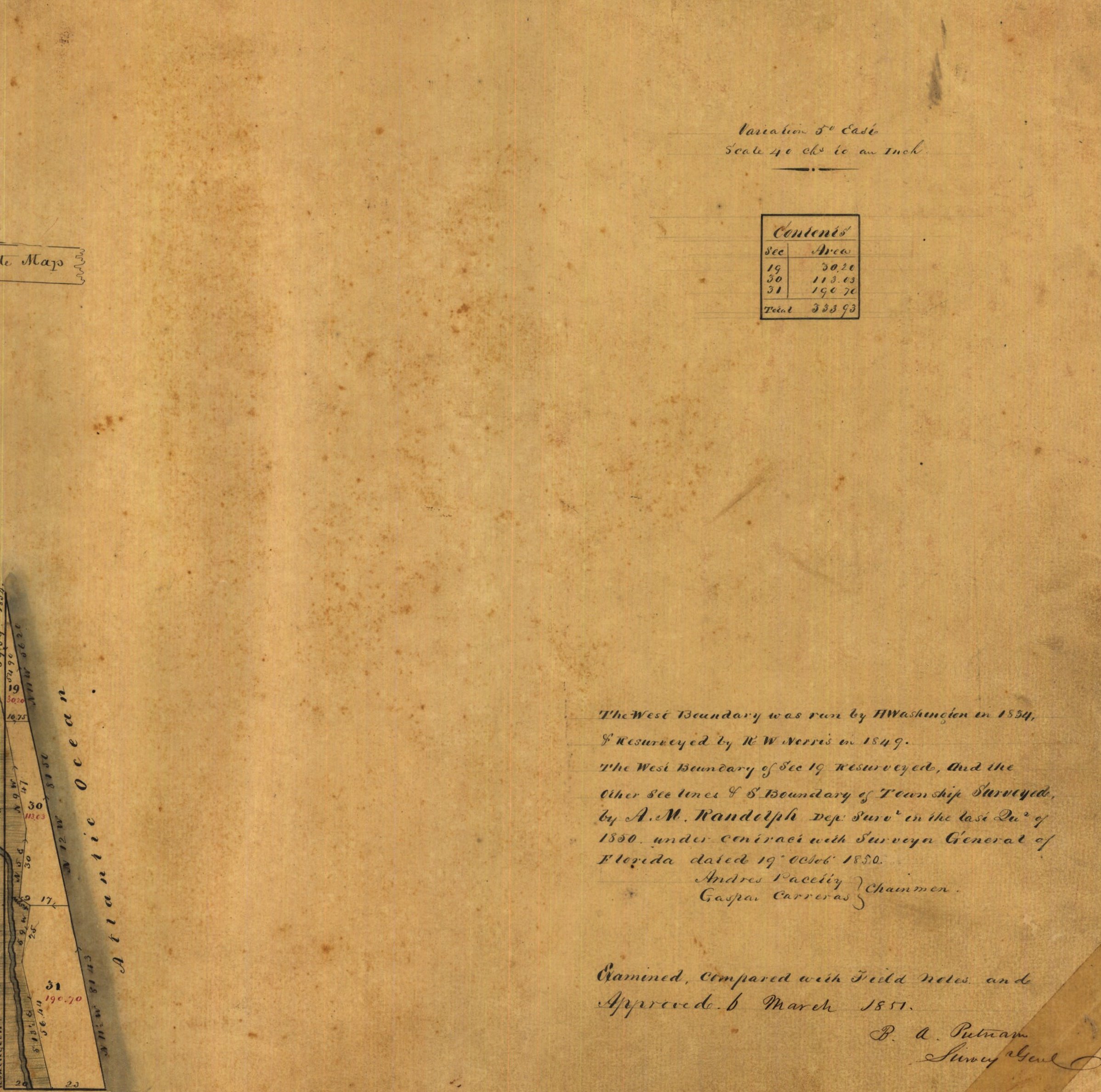
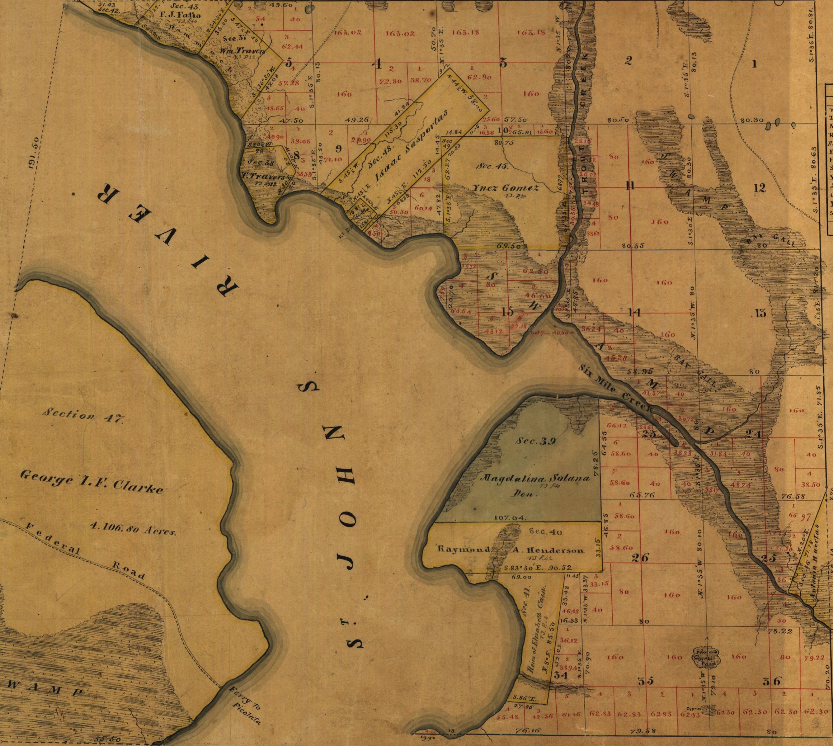
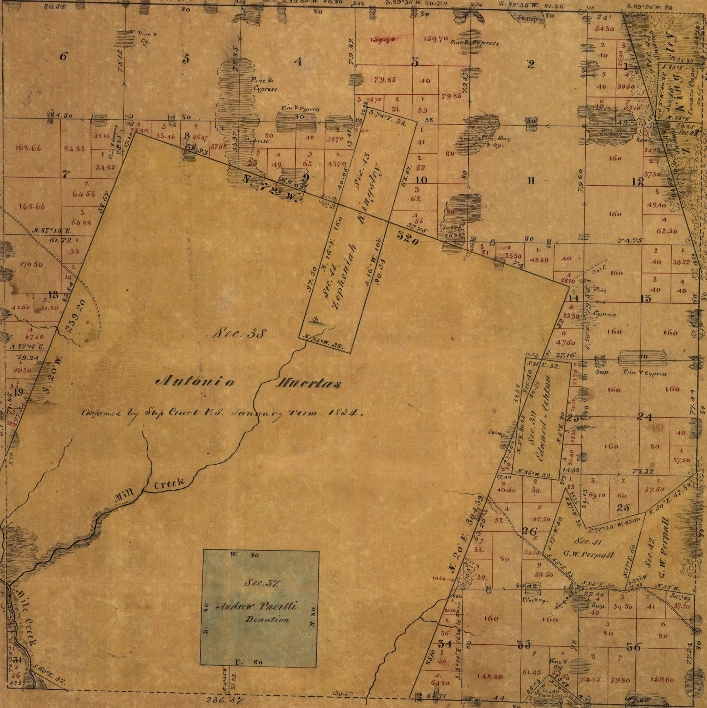
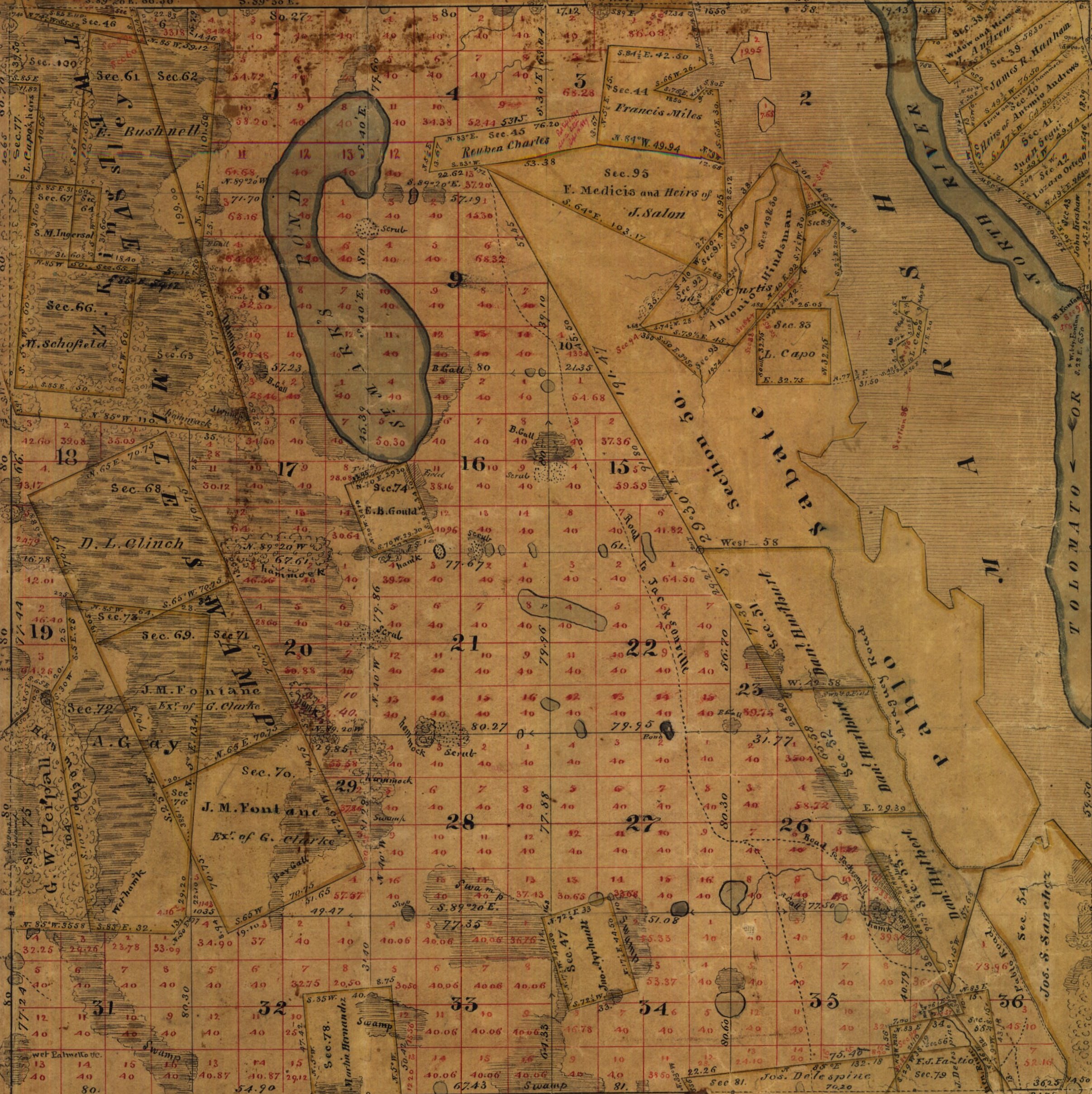
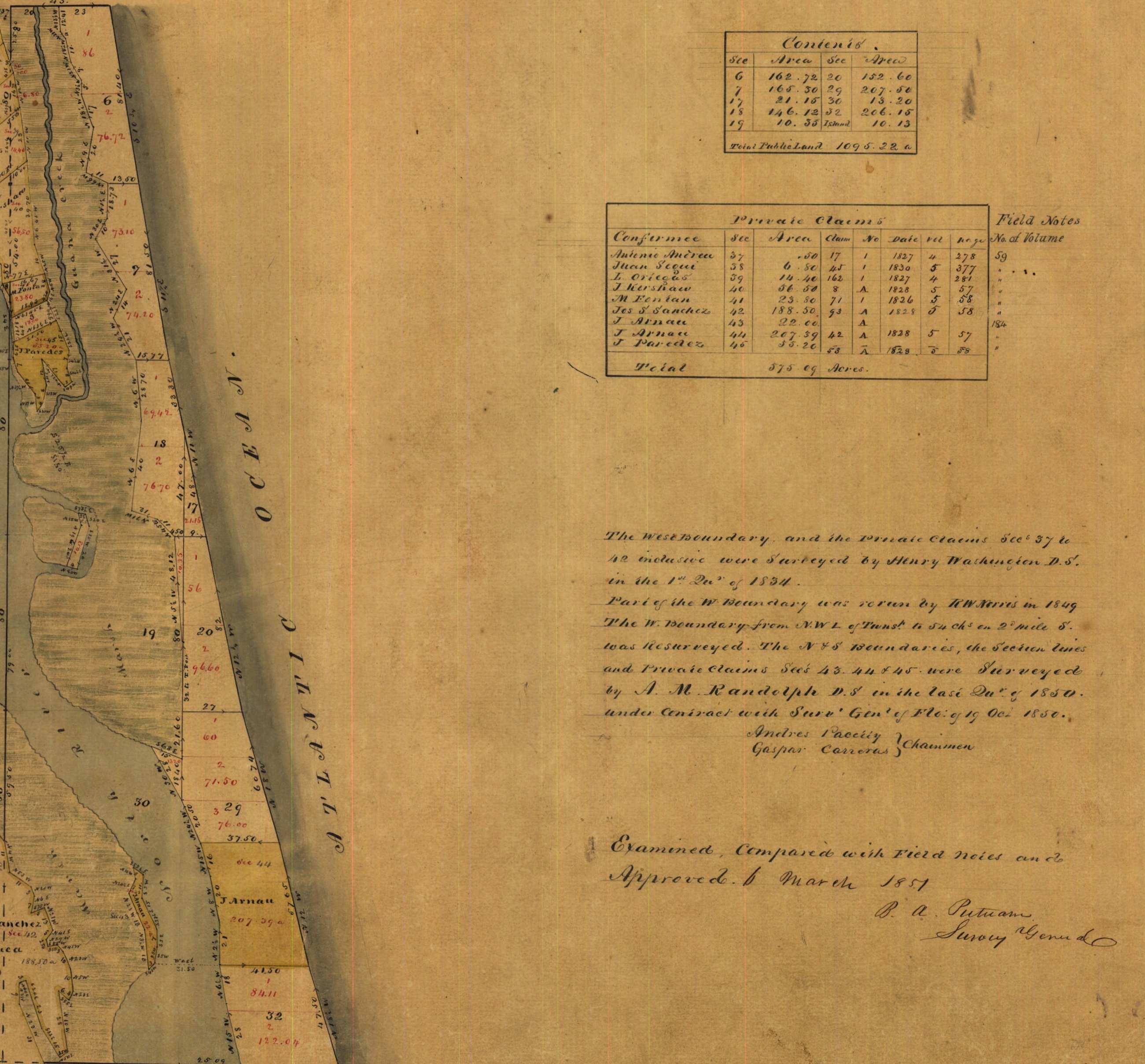
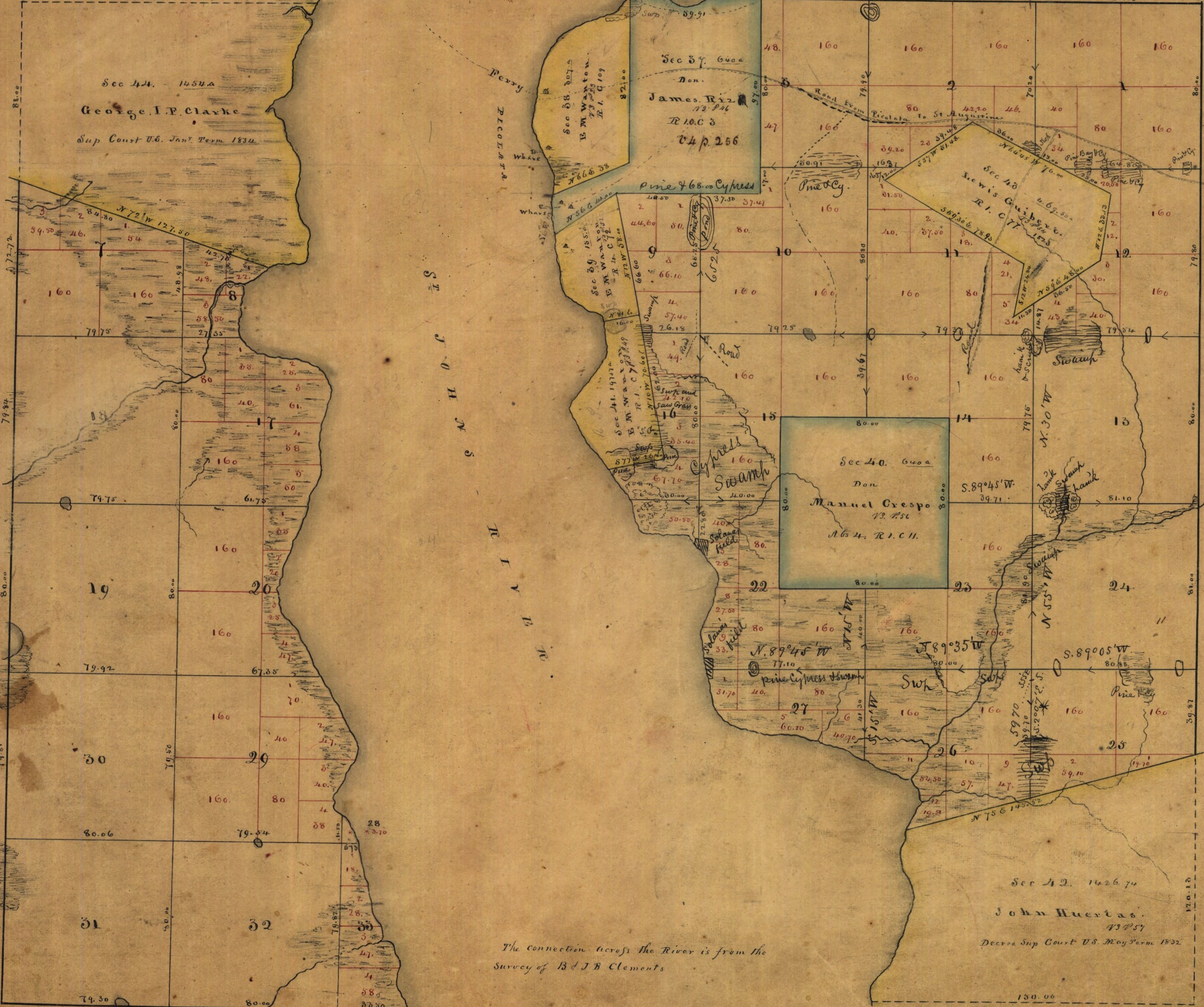
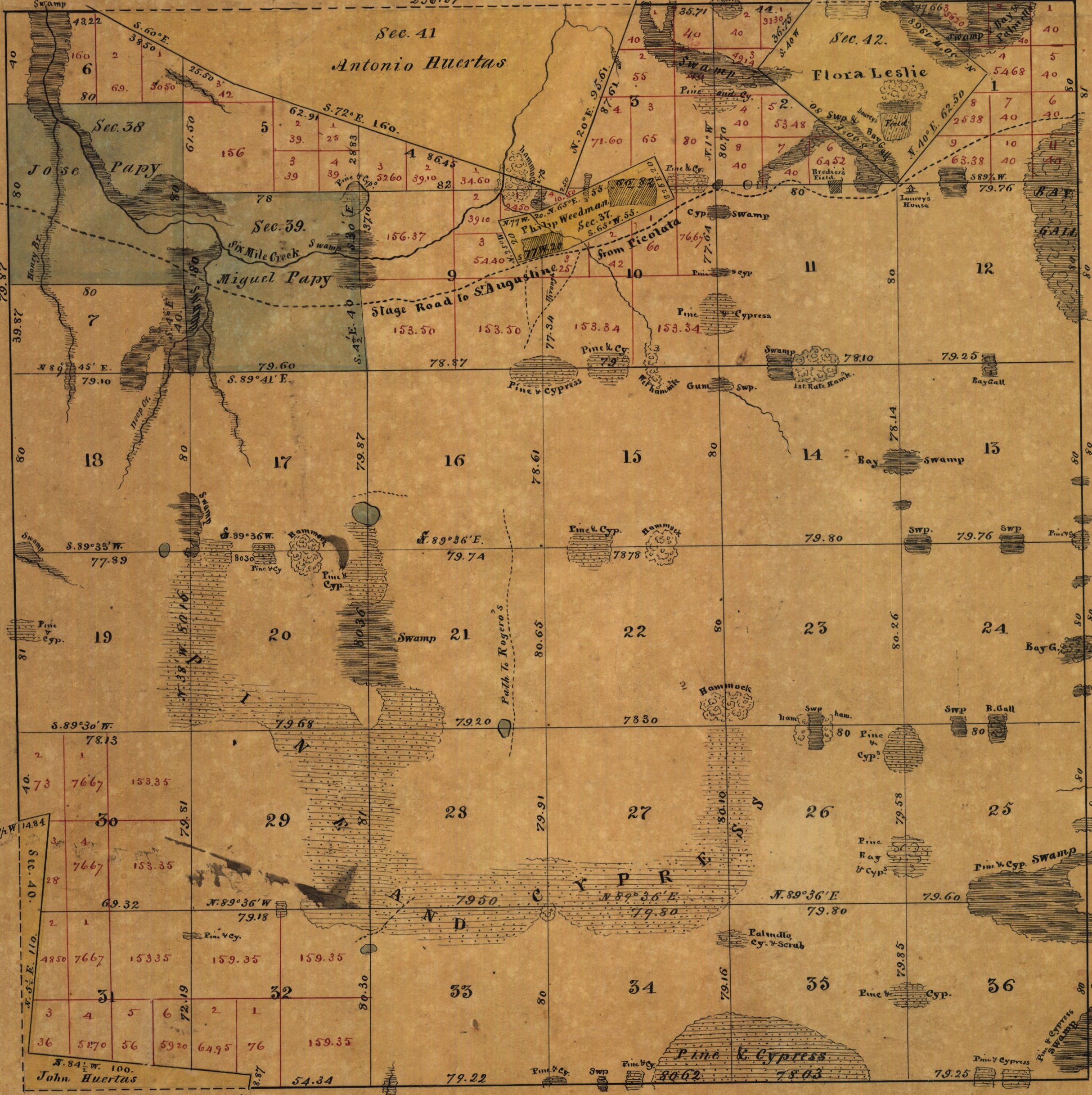
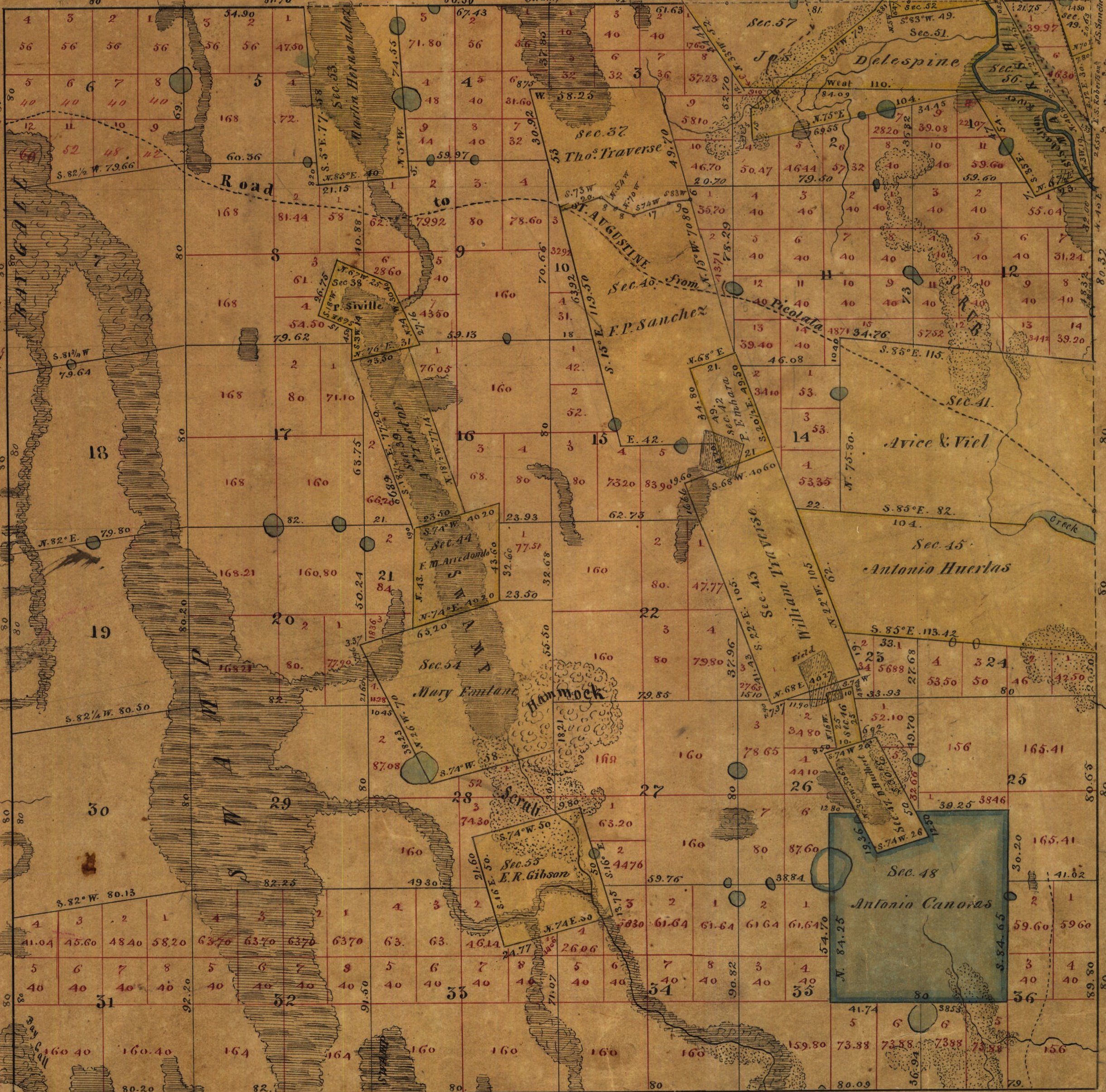
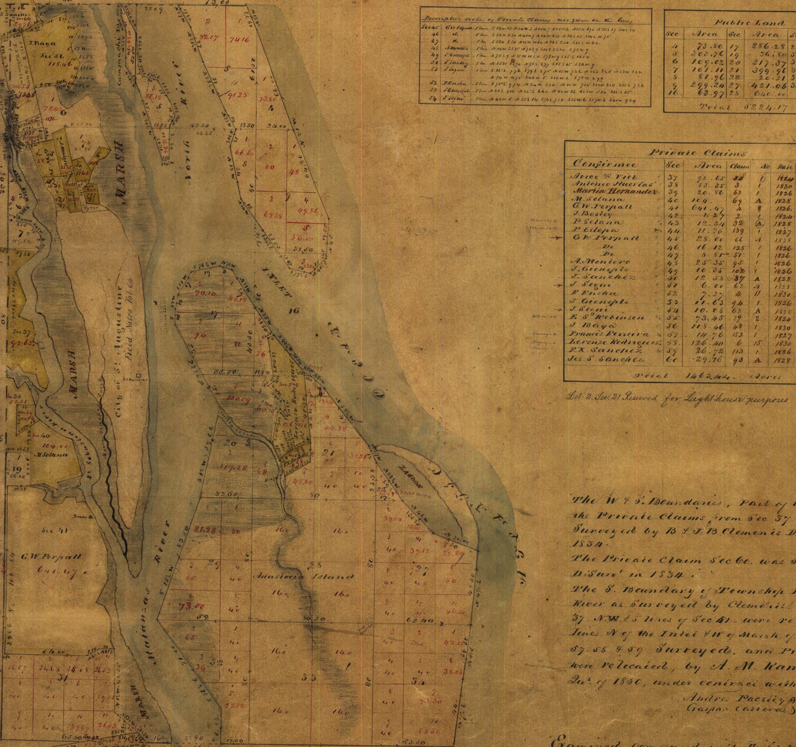
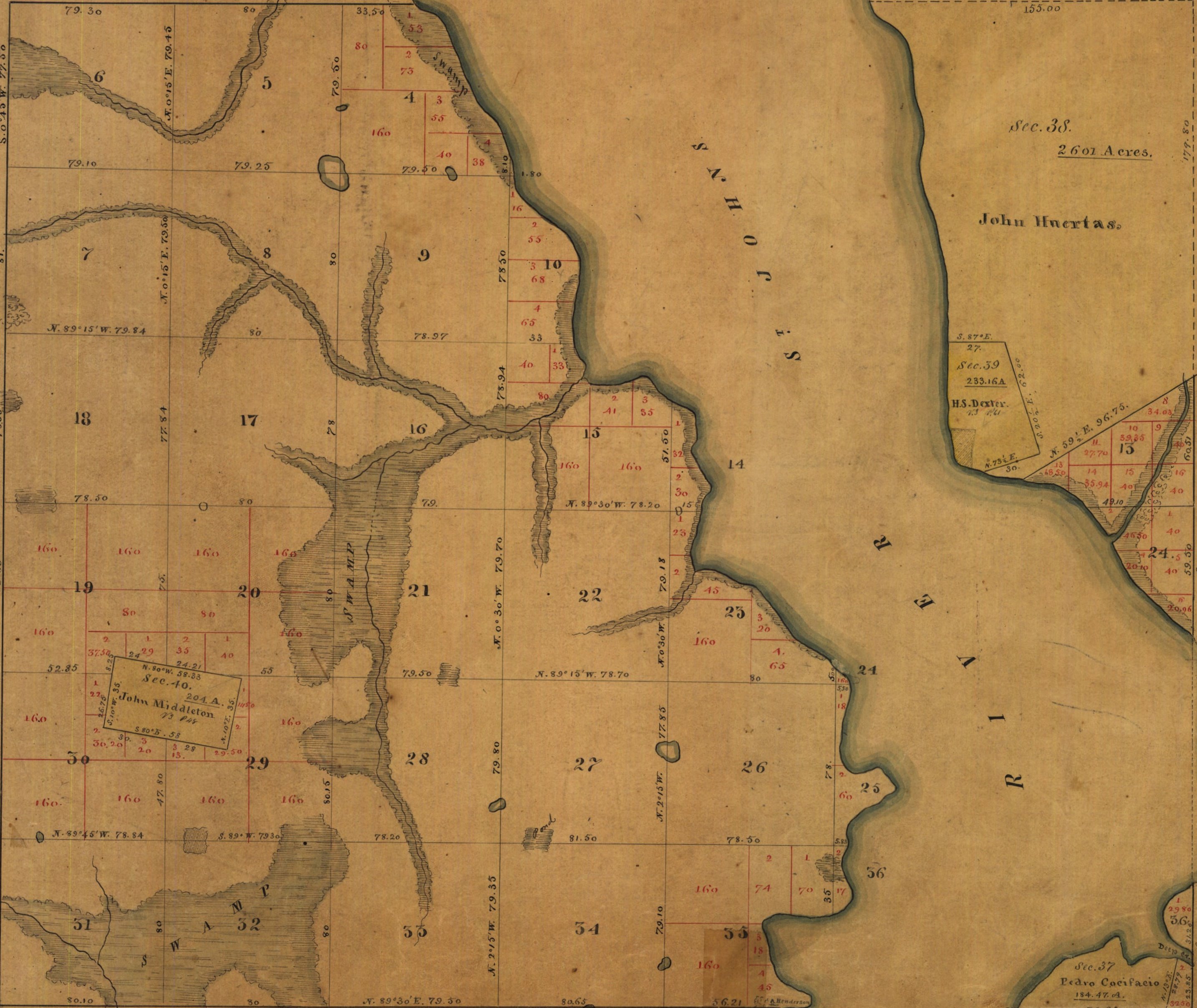
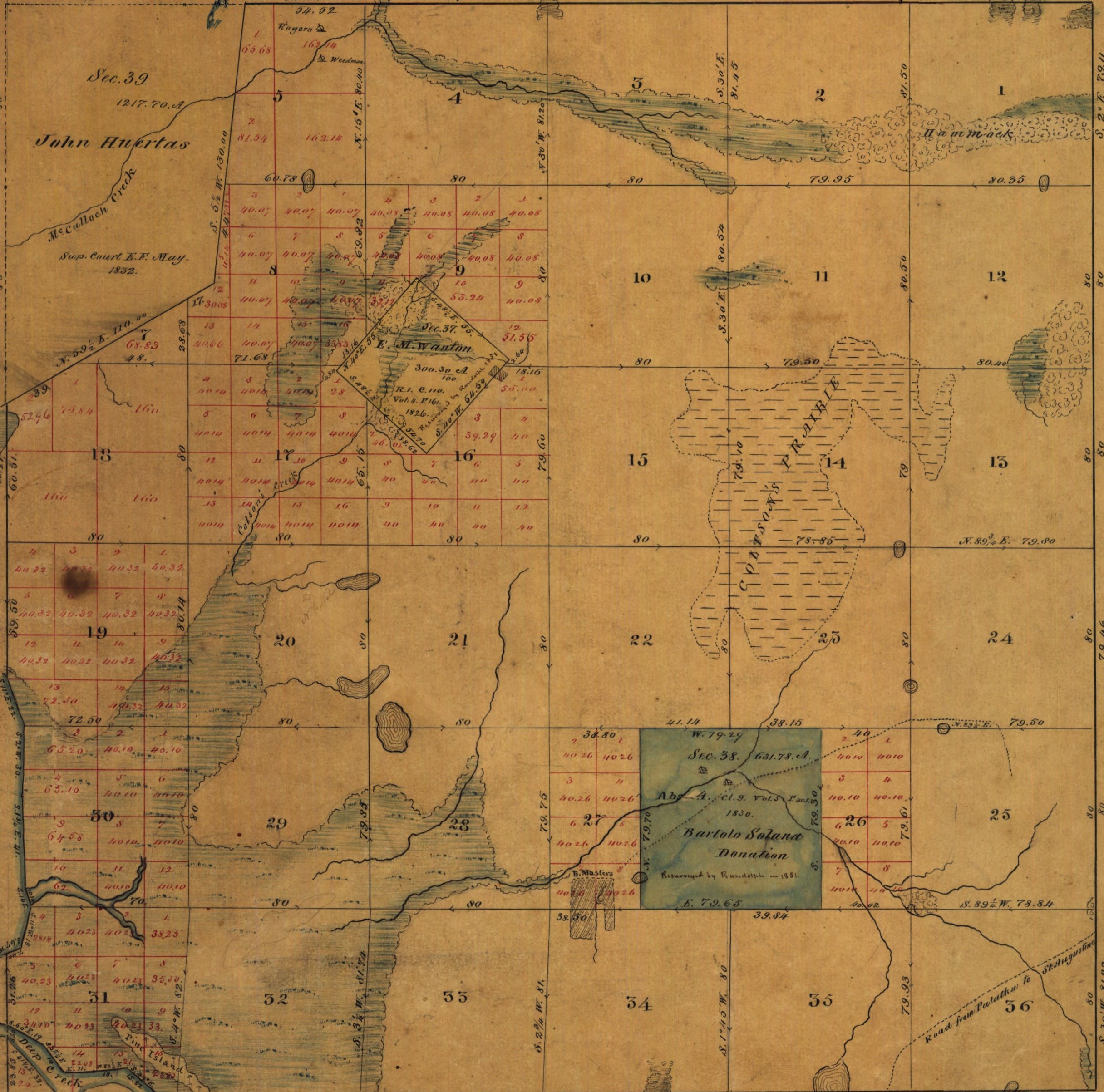
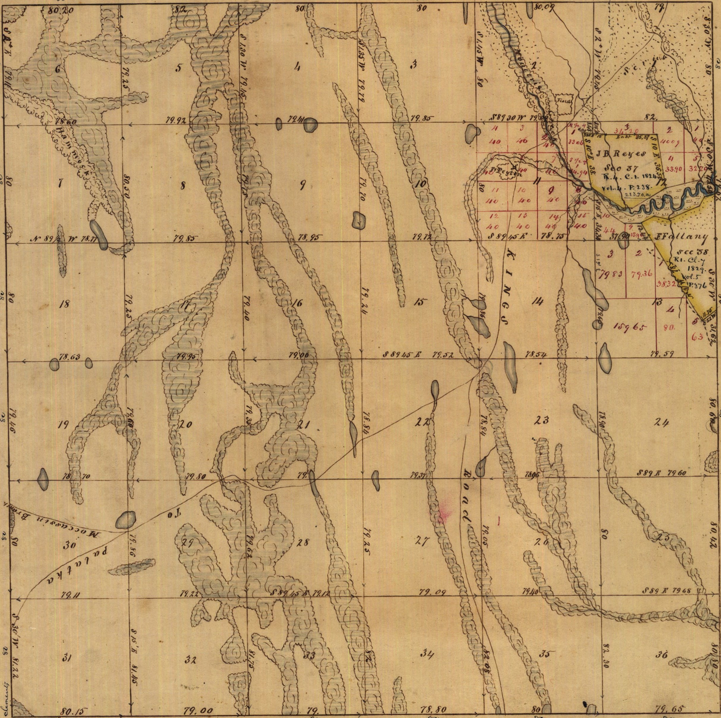
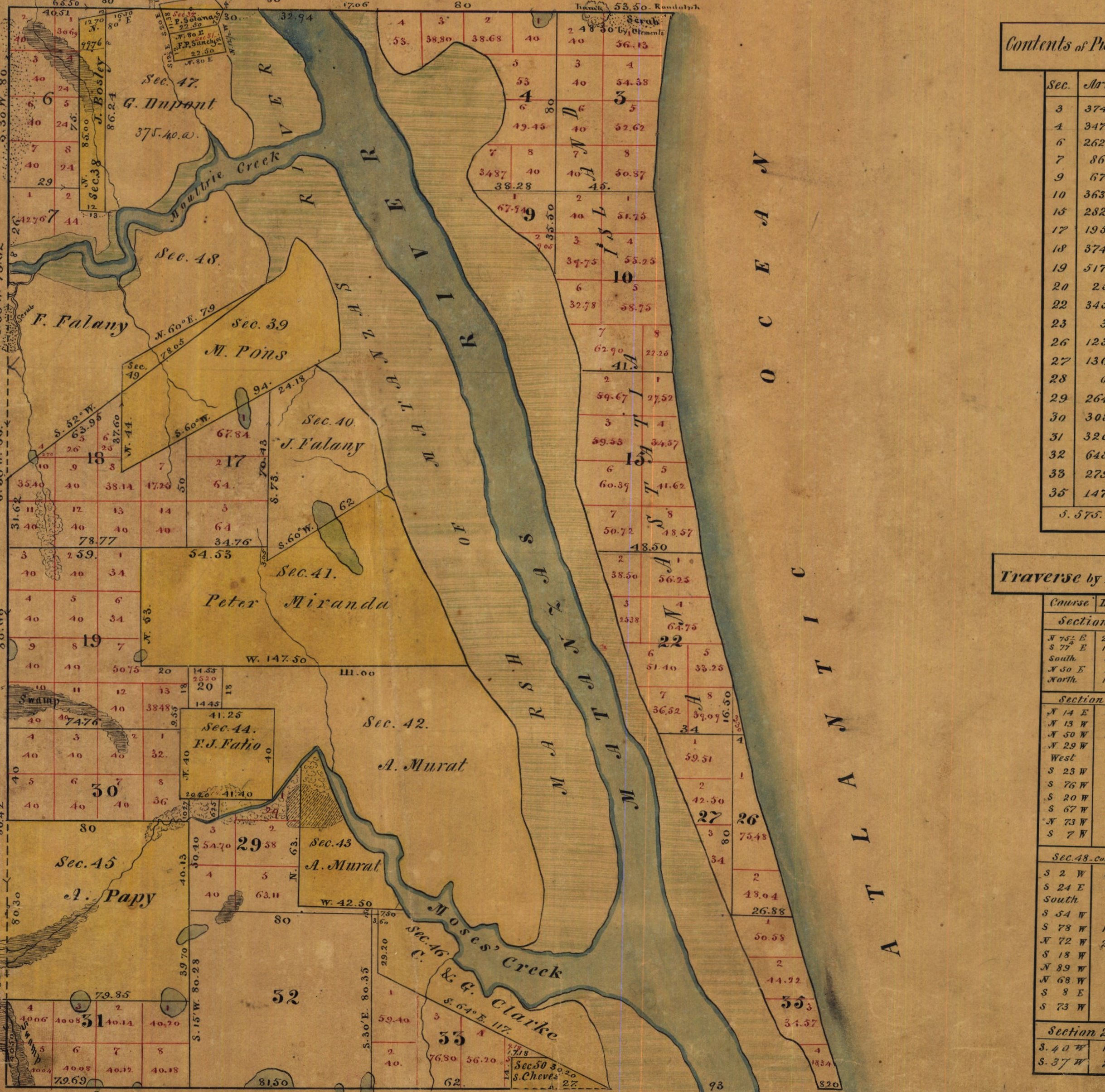
General Land Office (GLO) maps from the early- to mid-19th century can be very sources of information about both natural and cultural features of the landscape during the early American Period (after 1821) and even the preceding Second Spanish Period (1781-1821). Below are thumbnails of compiled plat maps for the area around Pensacola, most initiated in the 1820s and completed in the 1850s. These Pensacola maps are part of the larger collection of GLO maps for the entire state of Florida here, and additional maps for Florida and many other states are found at the Bureau of Land Management General Land Office Records website.
| 26E | 27E | 28E | 29E | 30E | ||
| 1S | 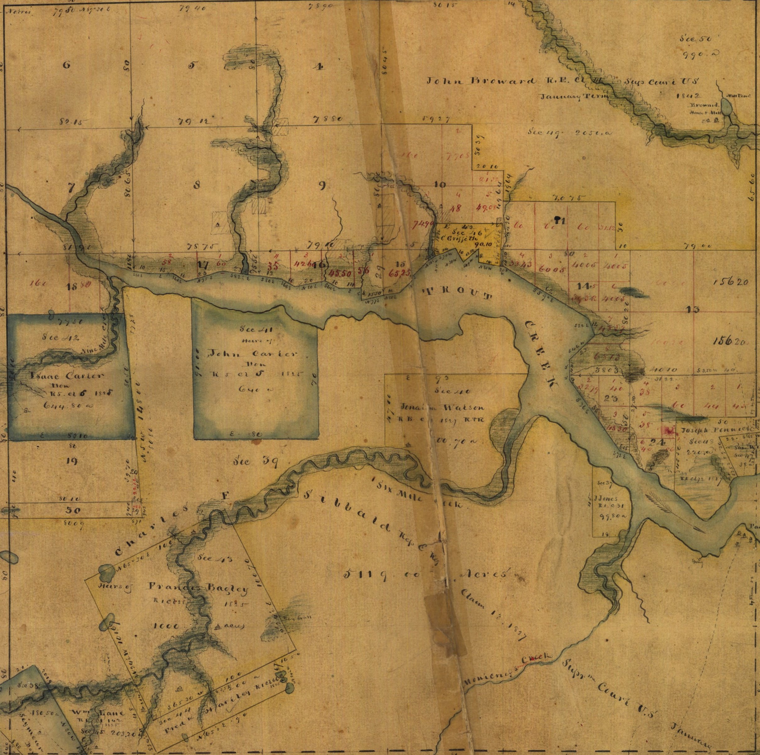 |
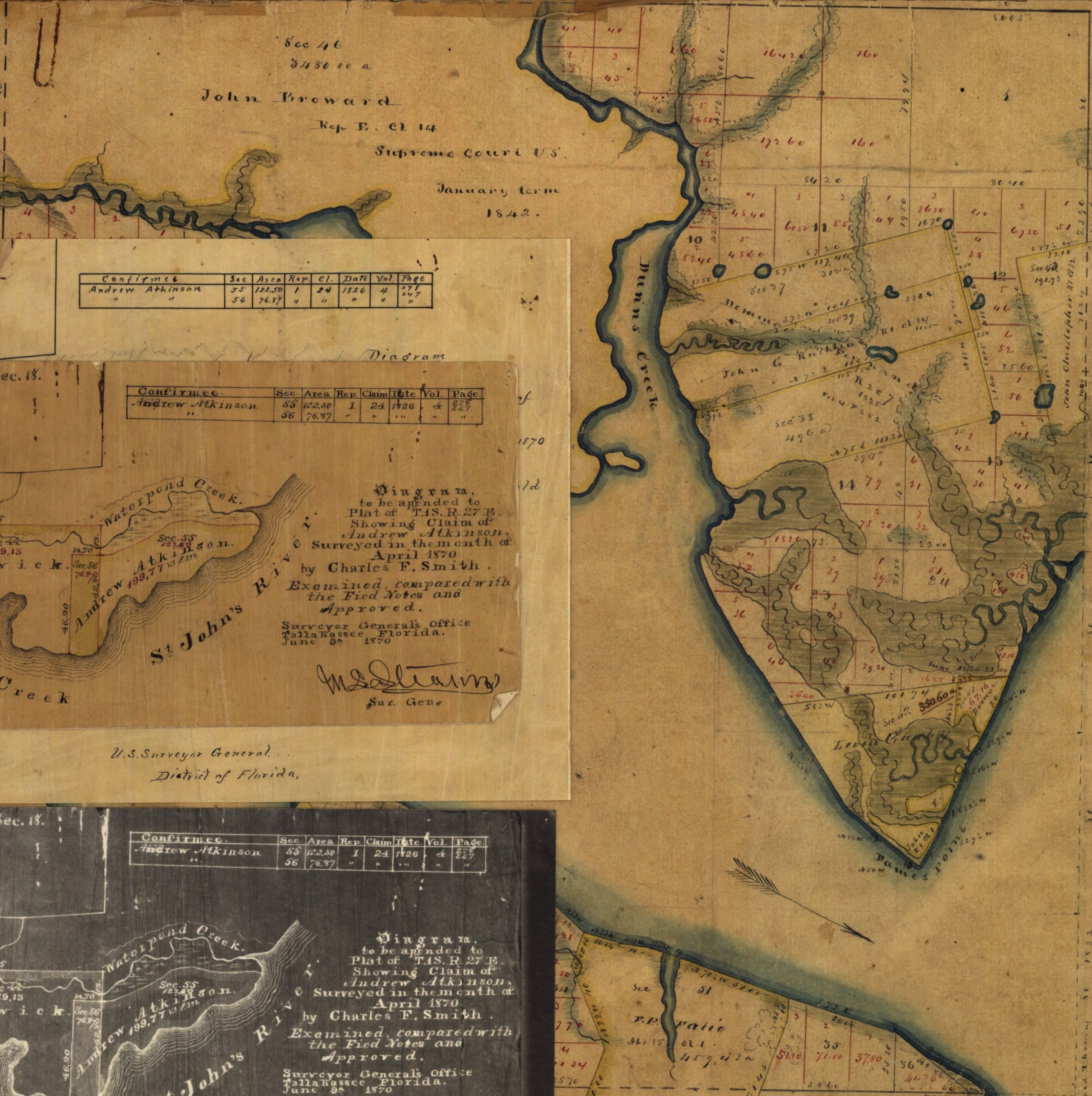 |
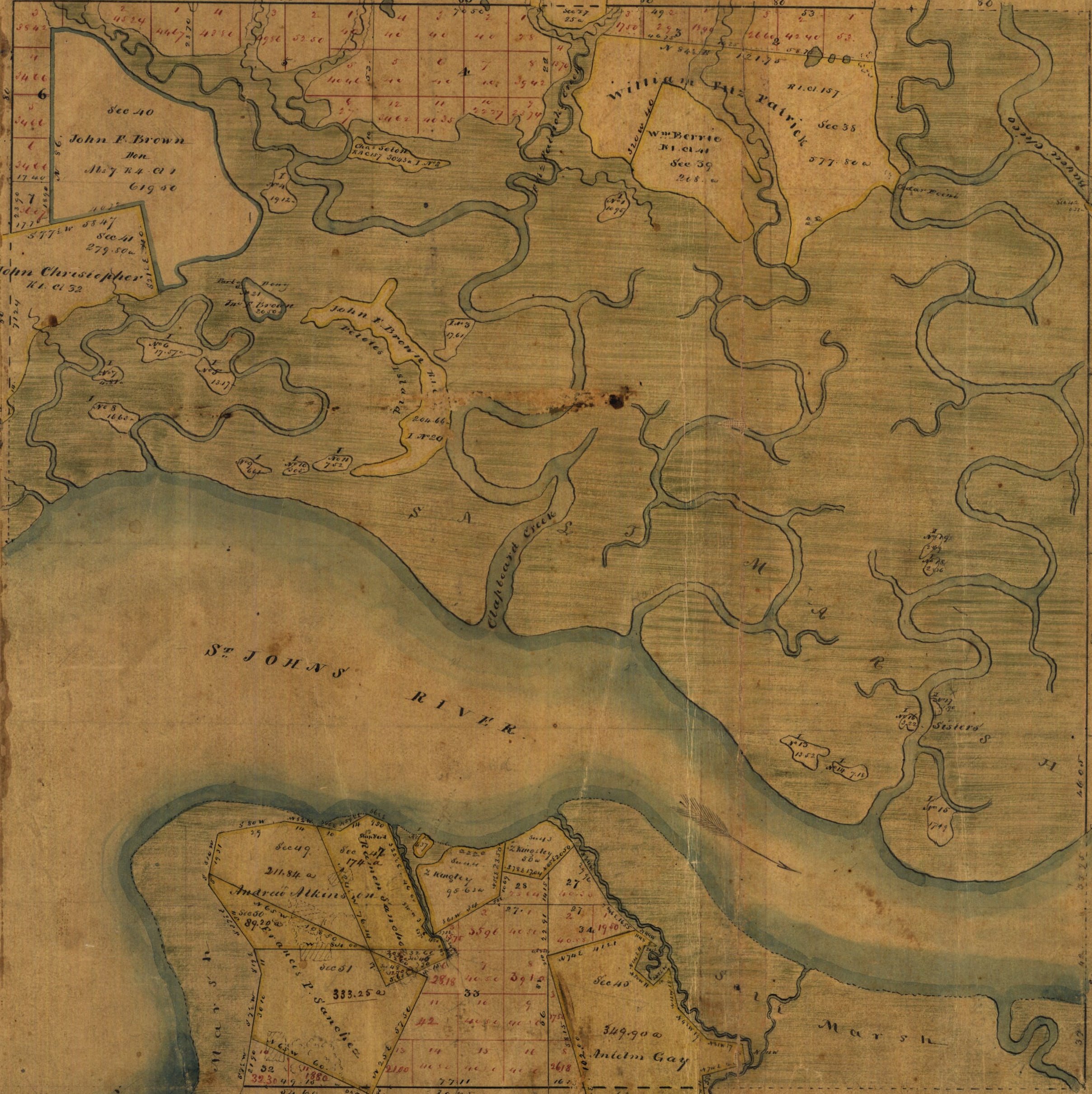 |
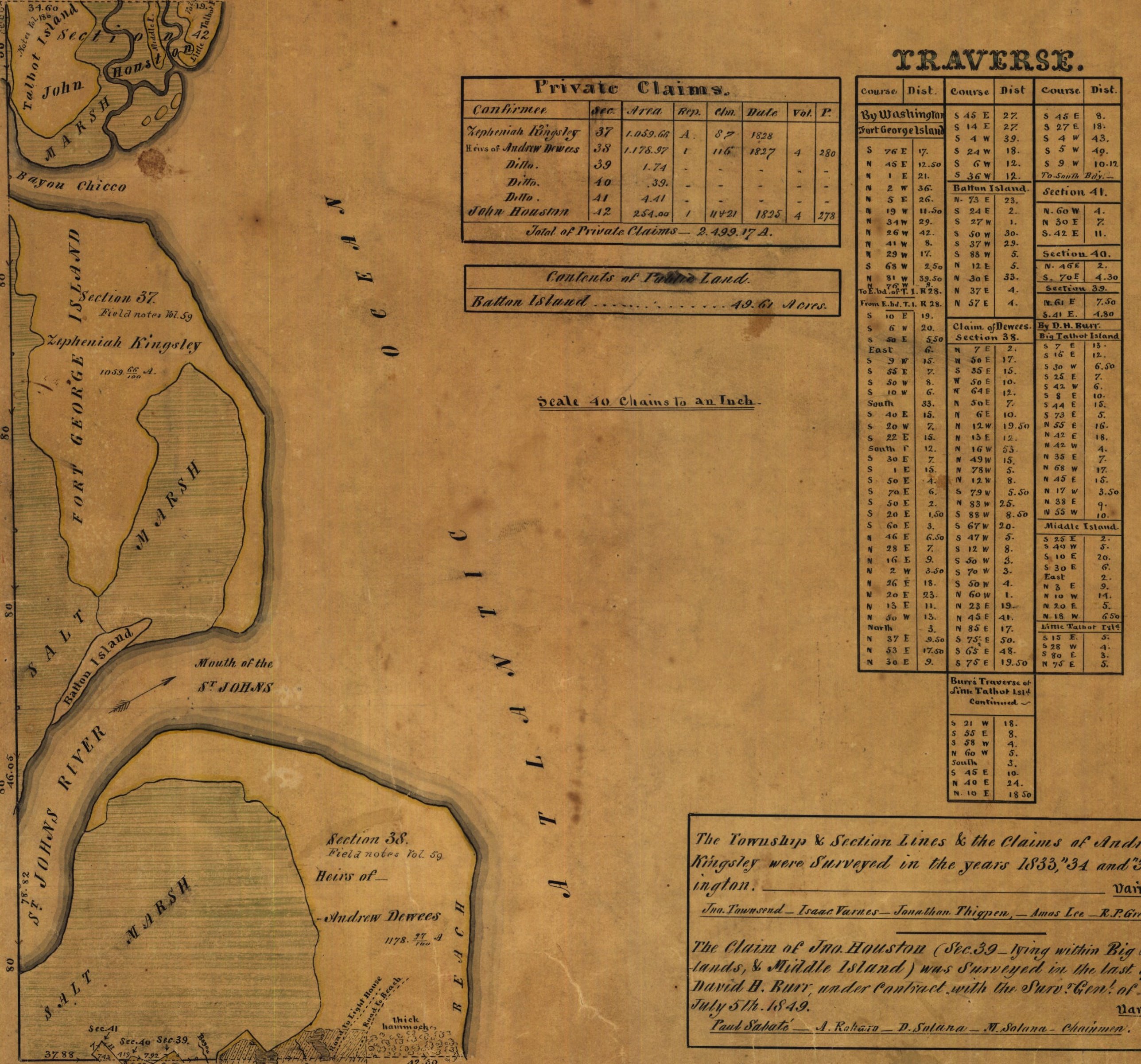 |
n/a | 1S |
| 2S | 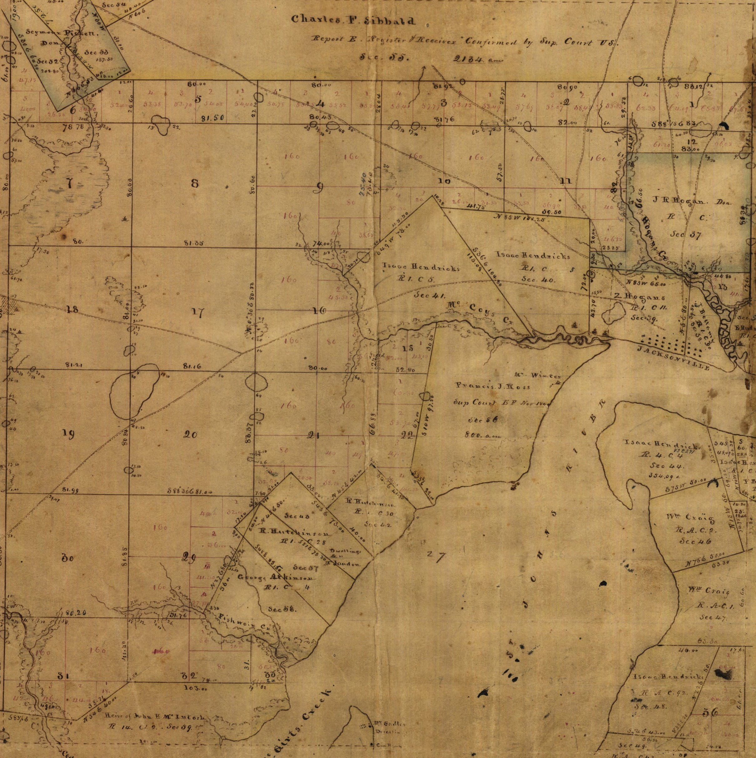 |
 |
 |
 |
n/a | 2S |
| 3S | 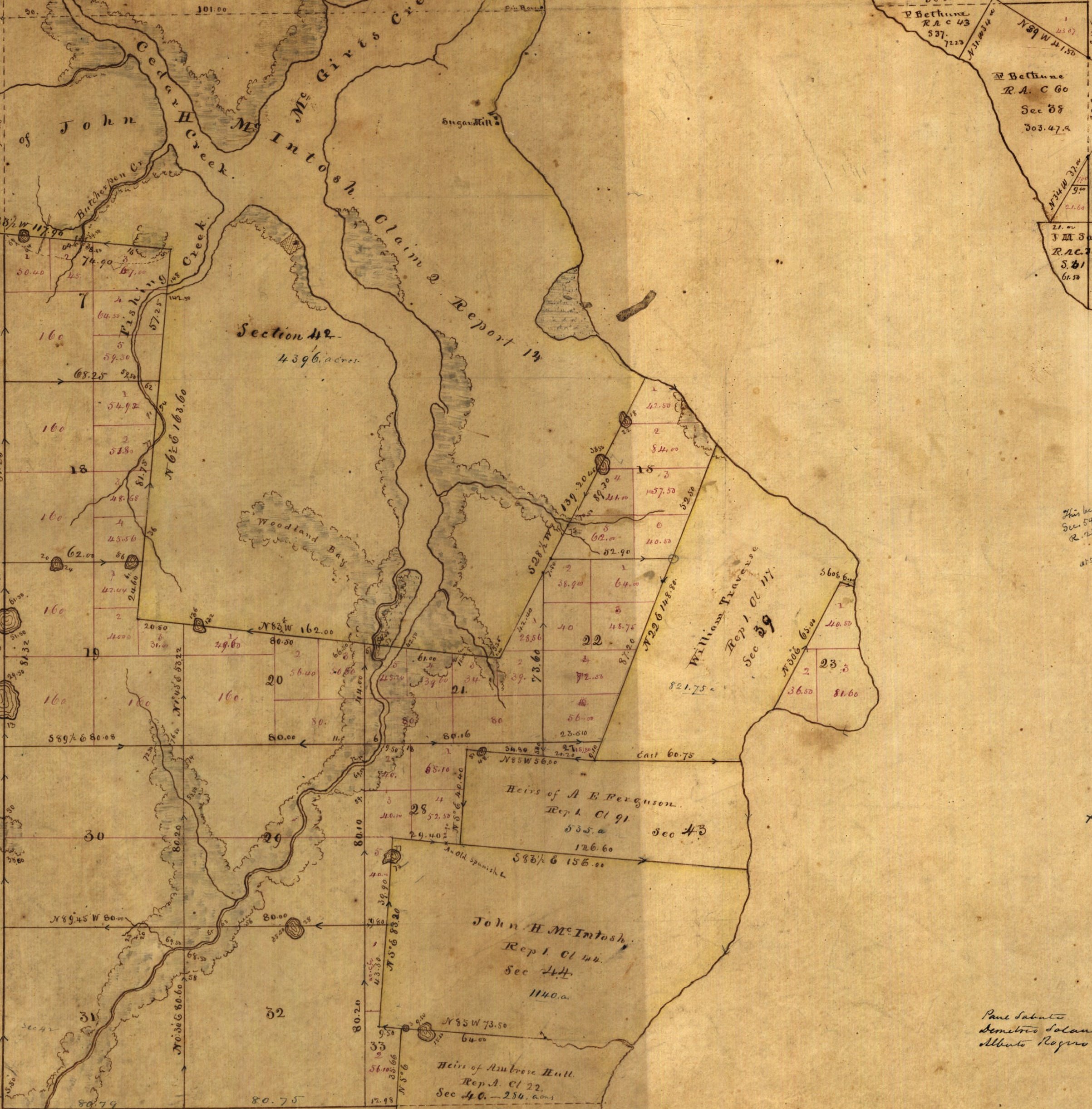 |
 |
 |
 |
n/a | 3S |
| 4S | 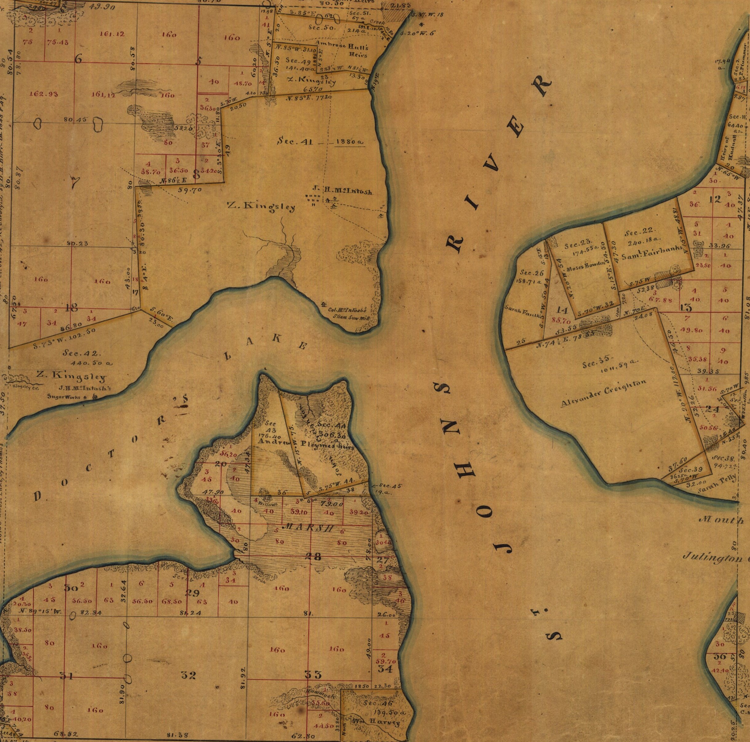 |
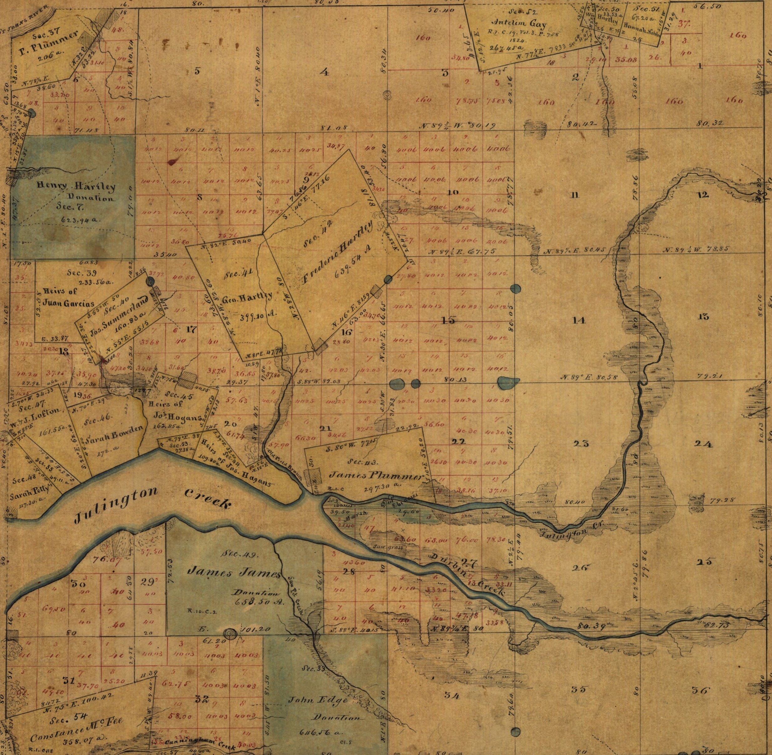 |
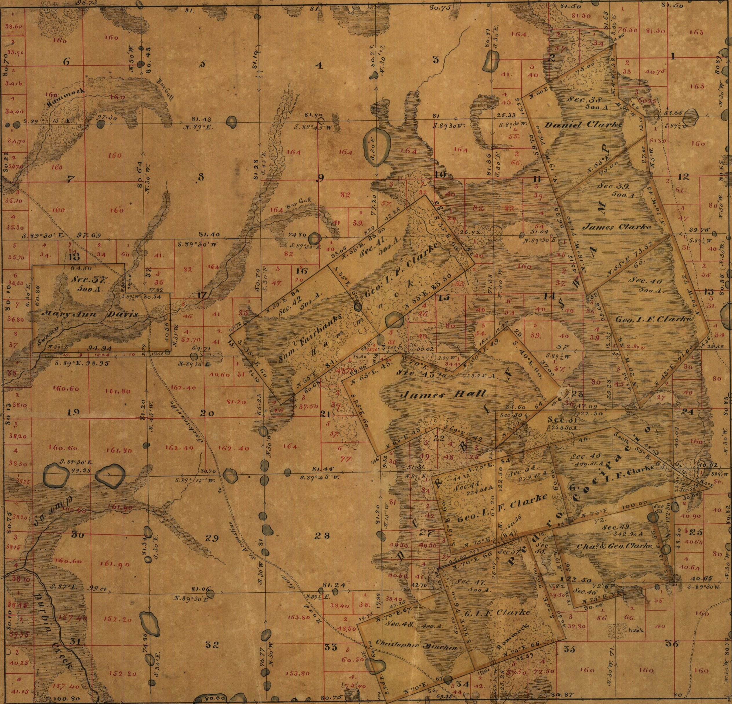 |
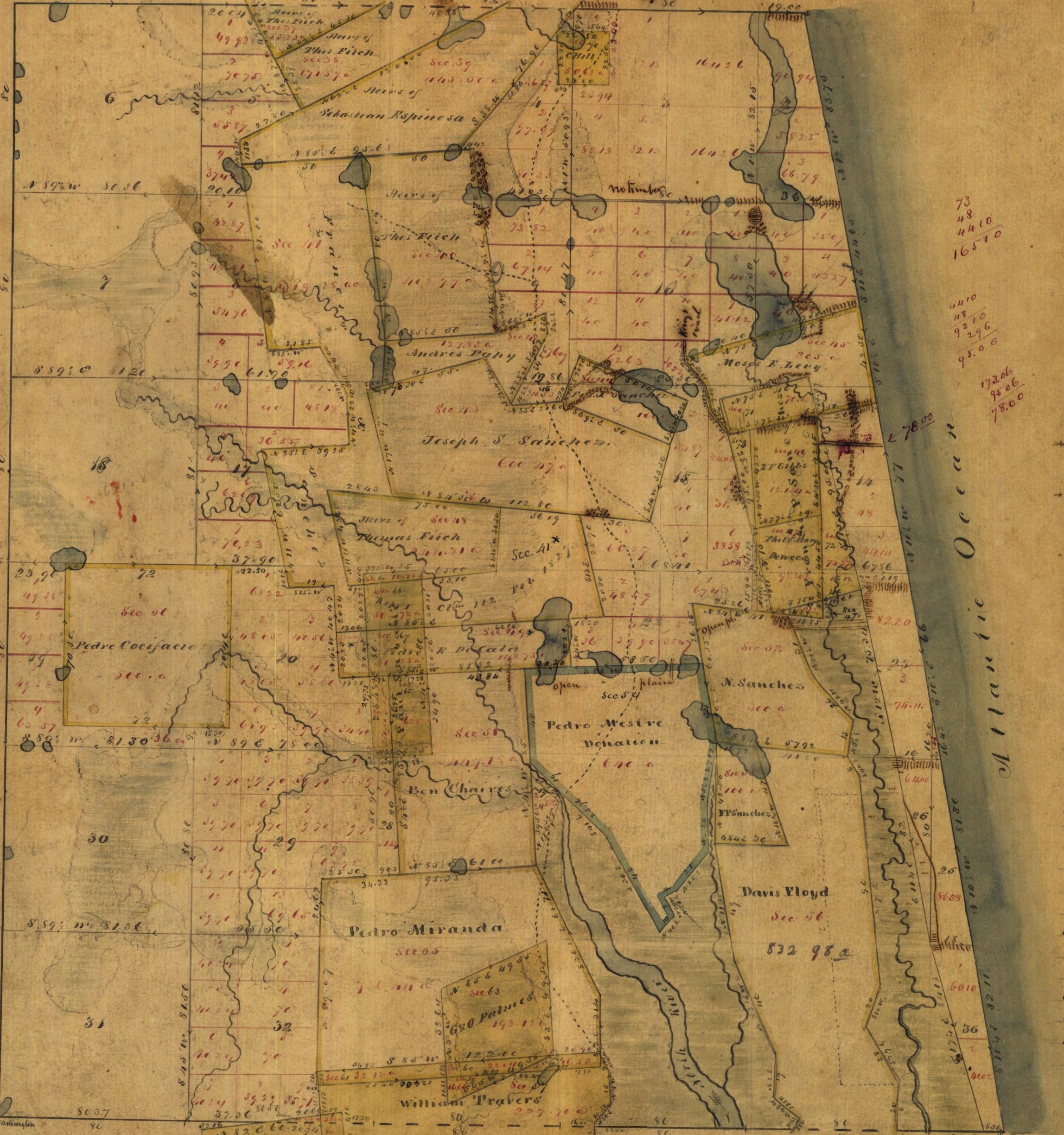 |
n/a | 4S |
5S |
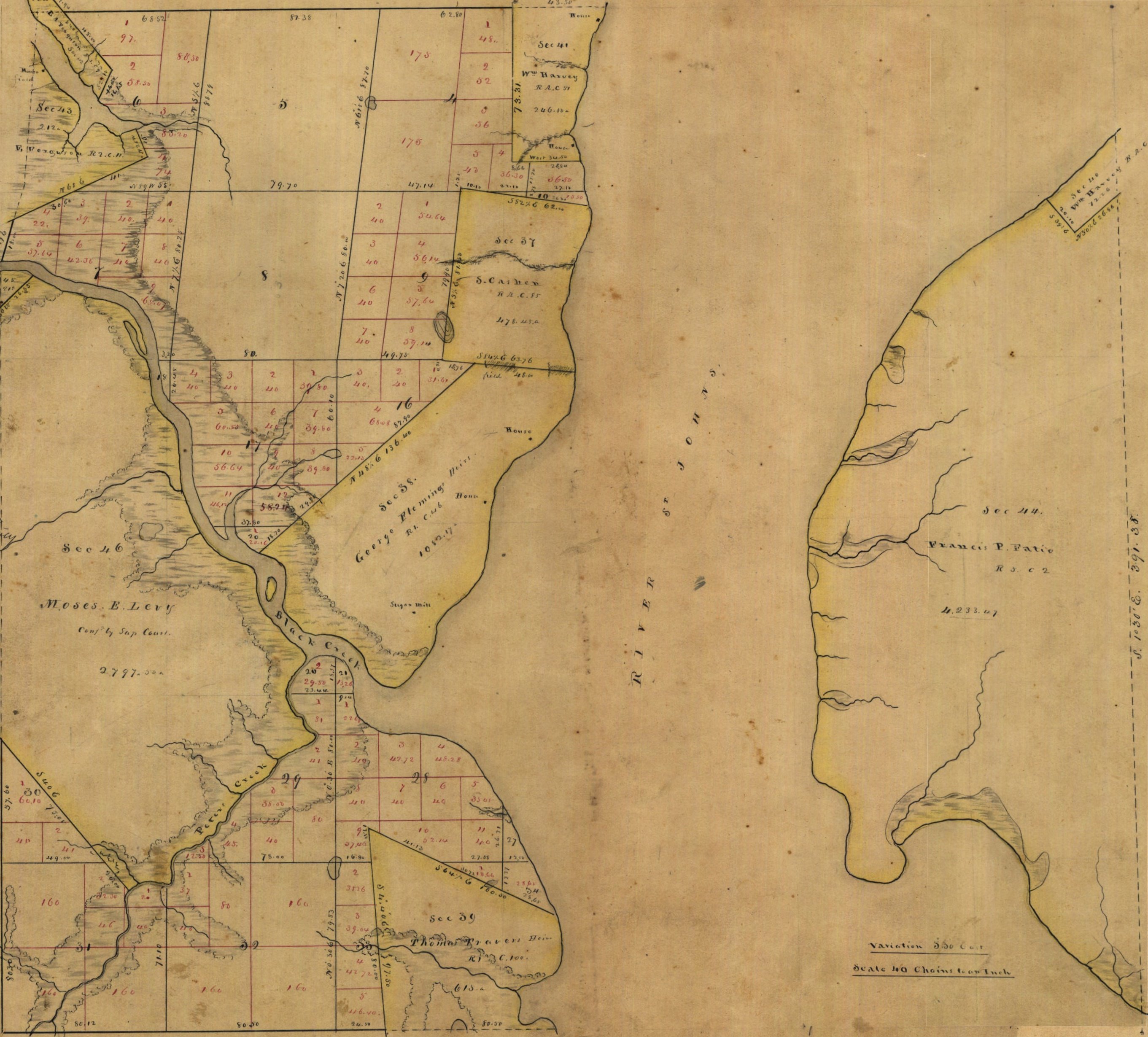 |
 |
 |
 |
 |
5S |
| 6S | 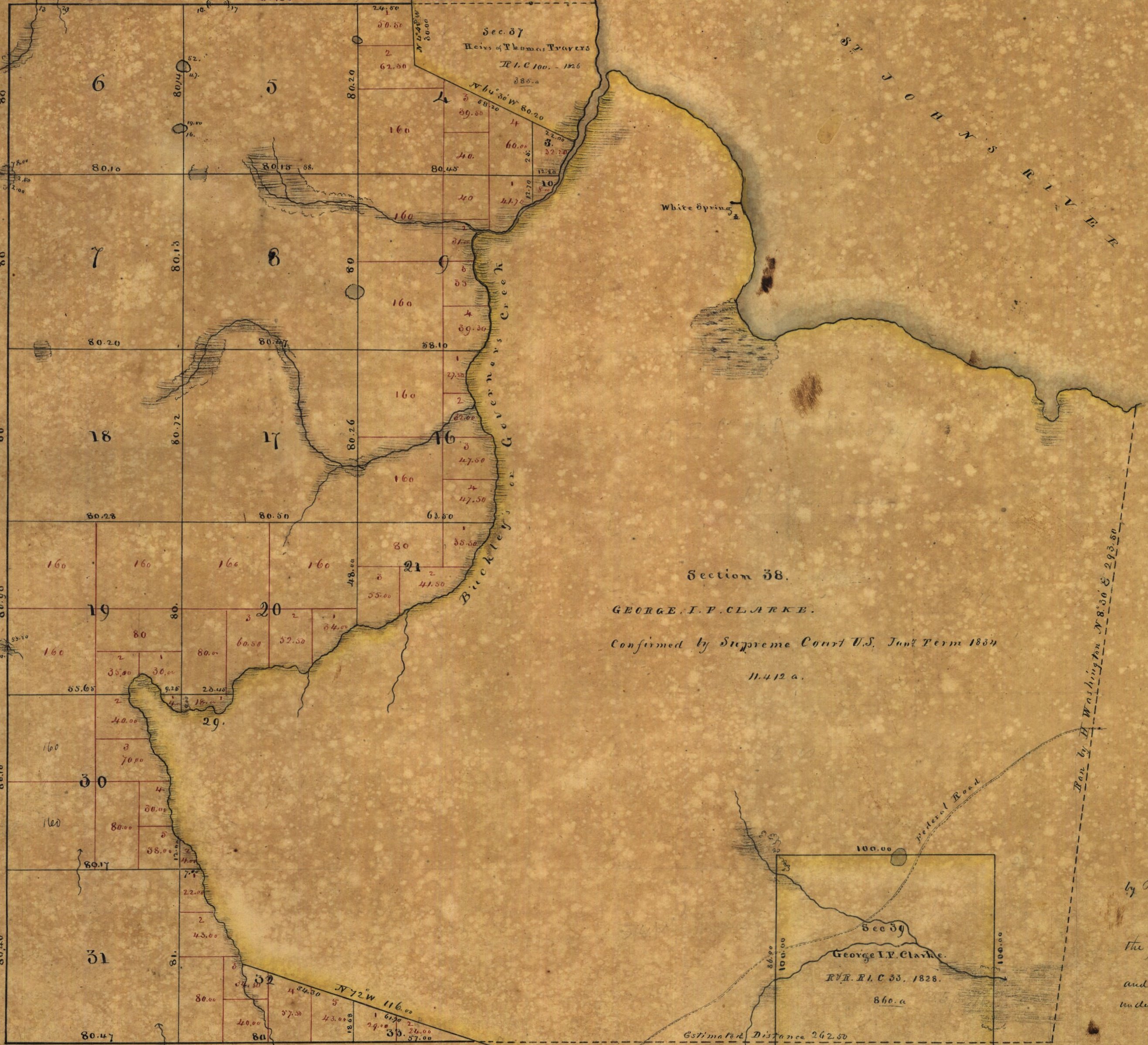 |
 |
 |
 |
 |
6S |
| 7S | 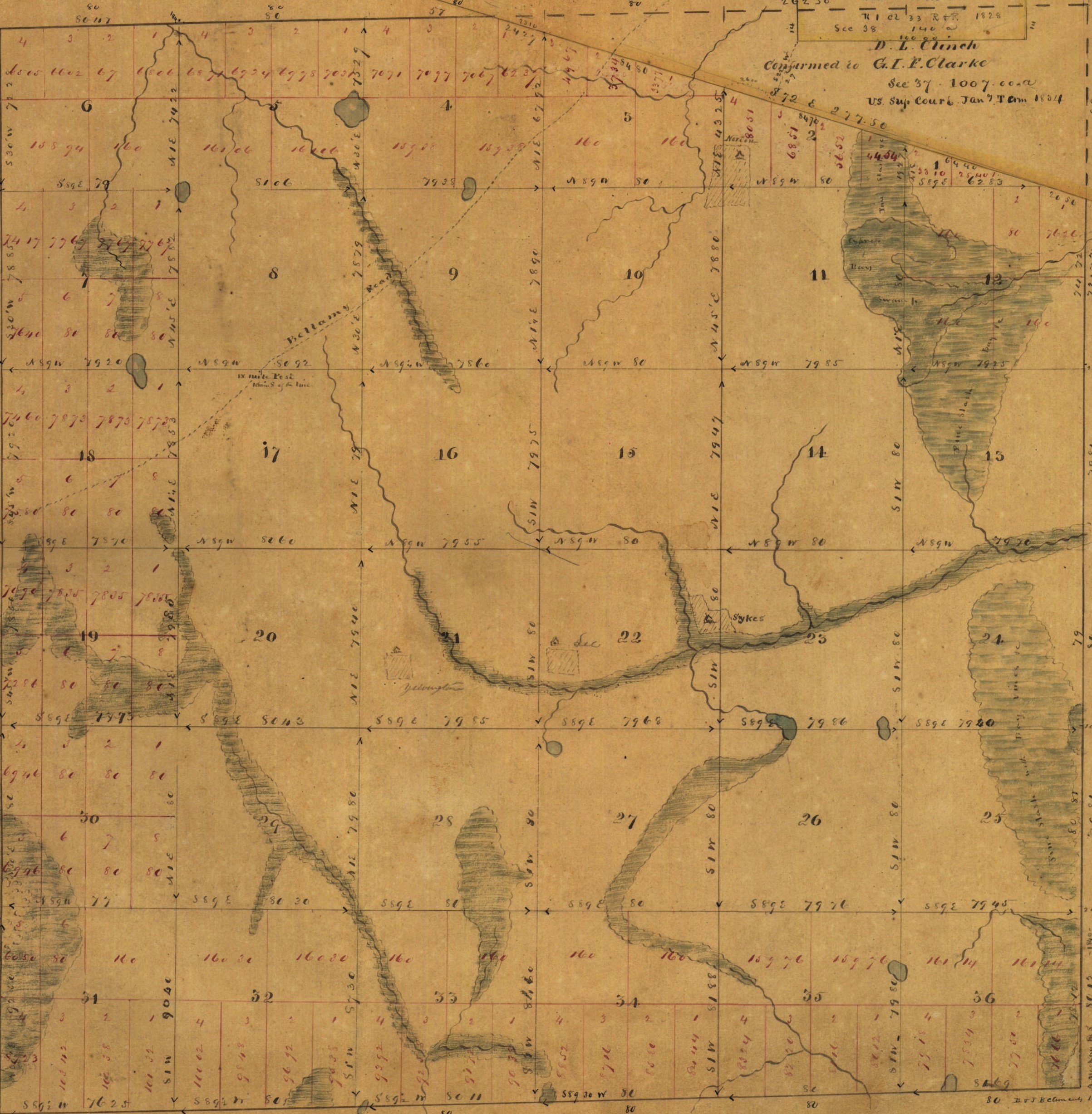 |
 |
 |
 |
 |
7S |
| 8S | 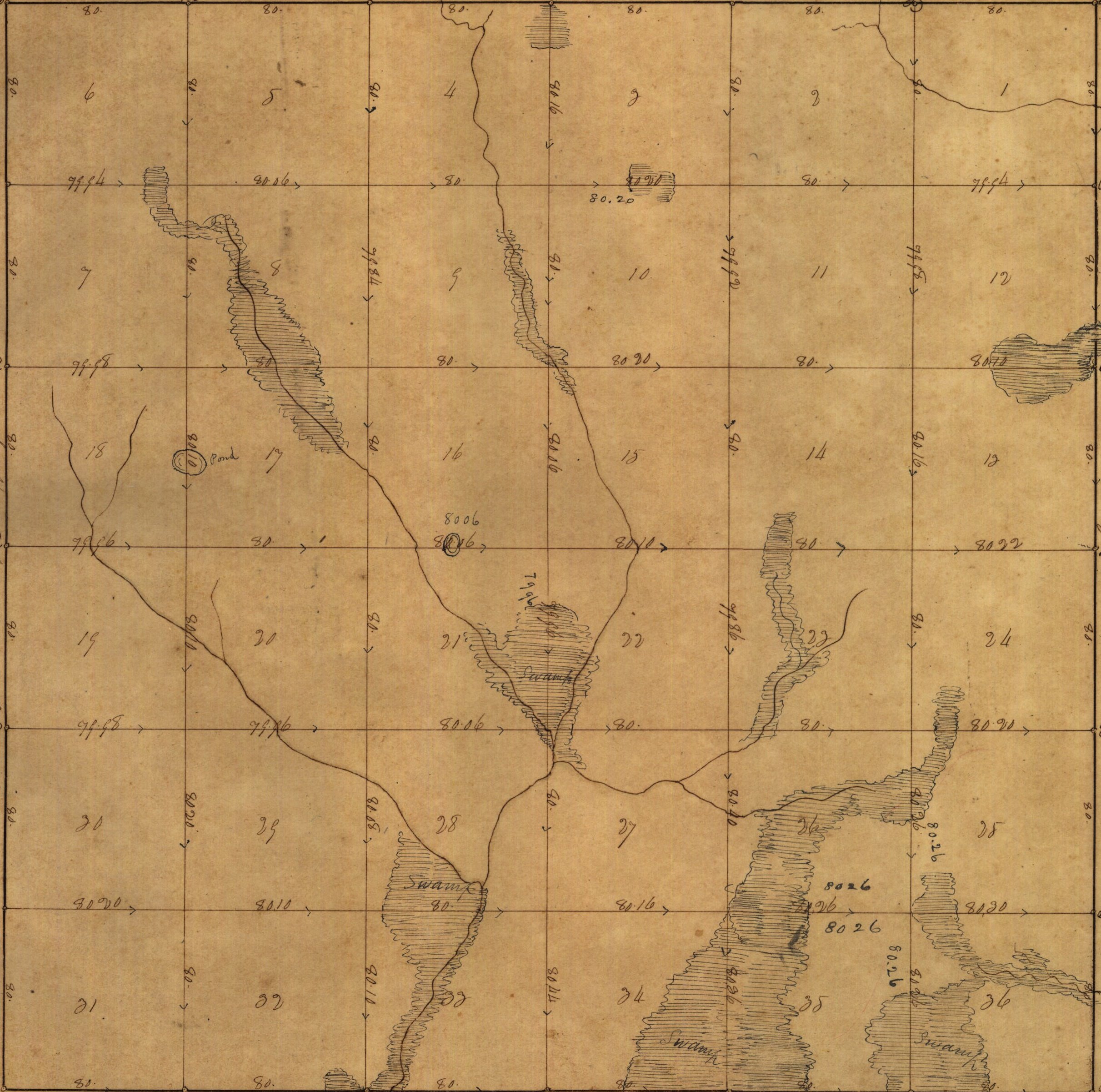 |
 |
 |
 |
 |
8S |