Historic Pensacola Topographic Maps
See also: Historic Pensacola GLO Maps
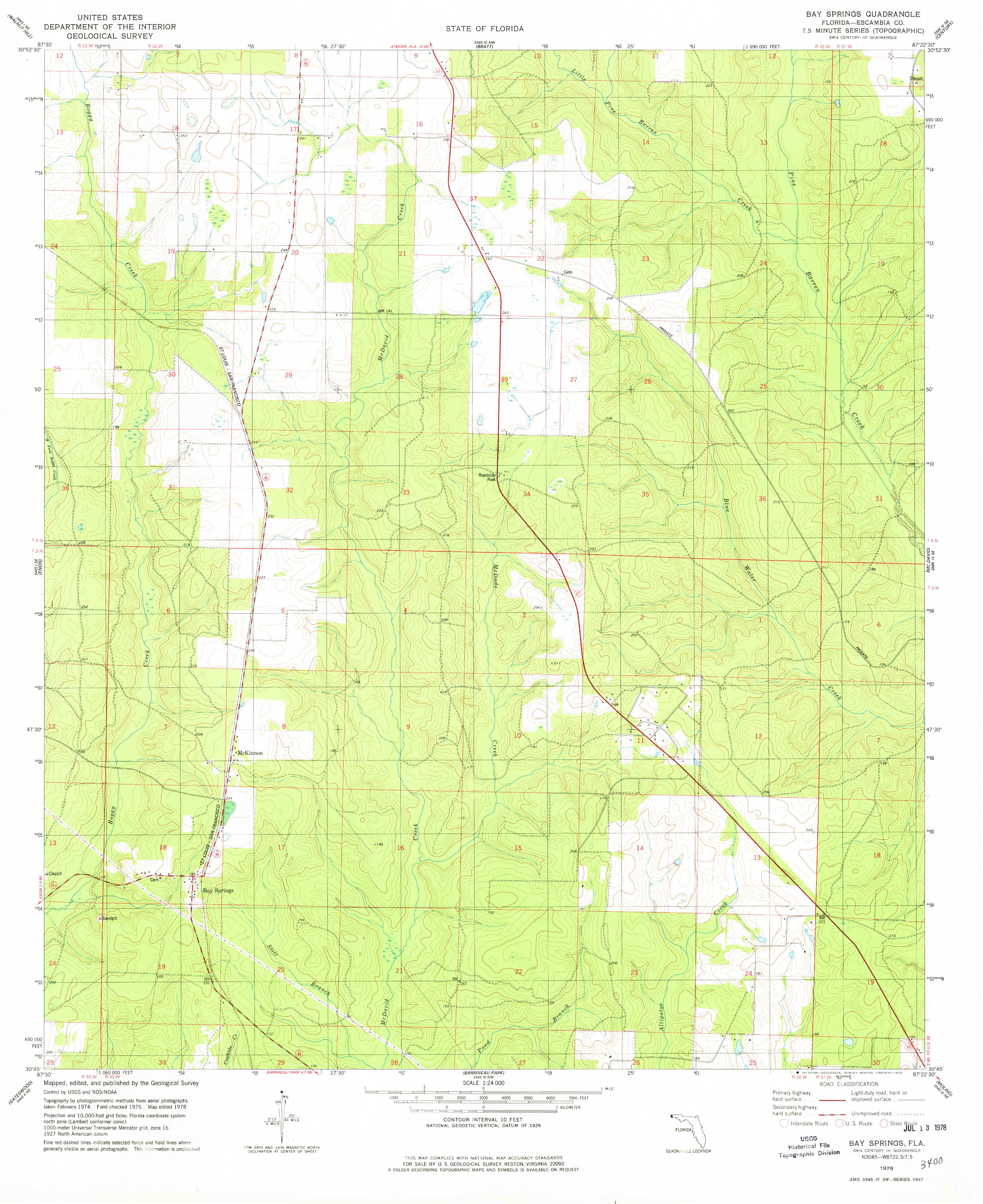
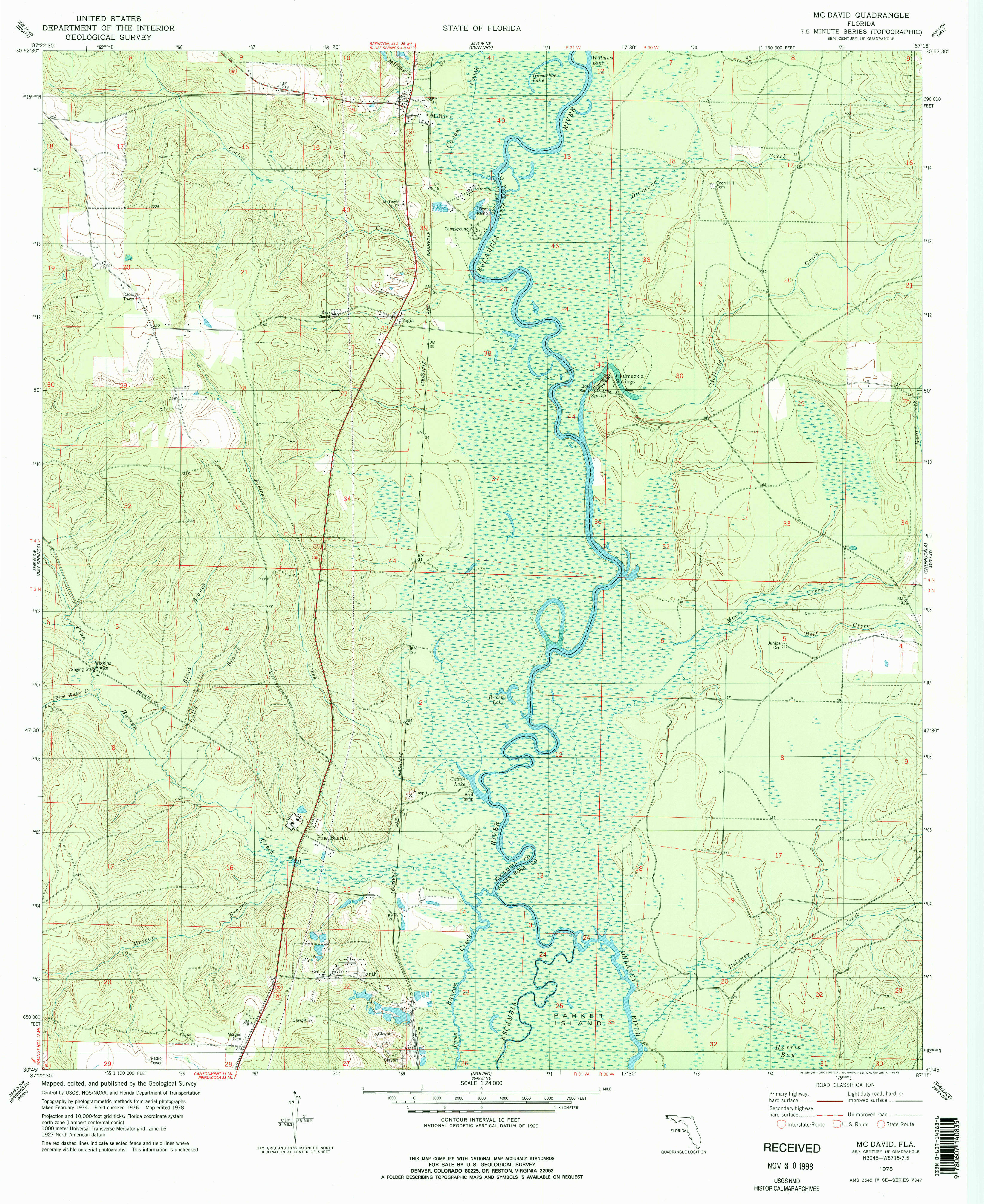
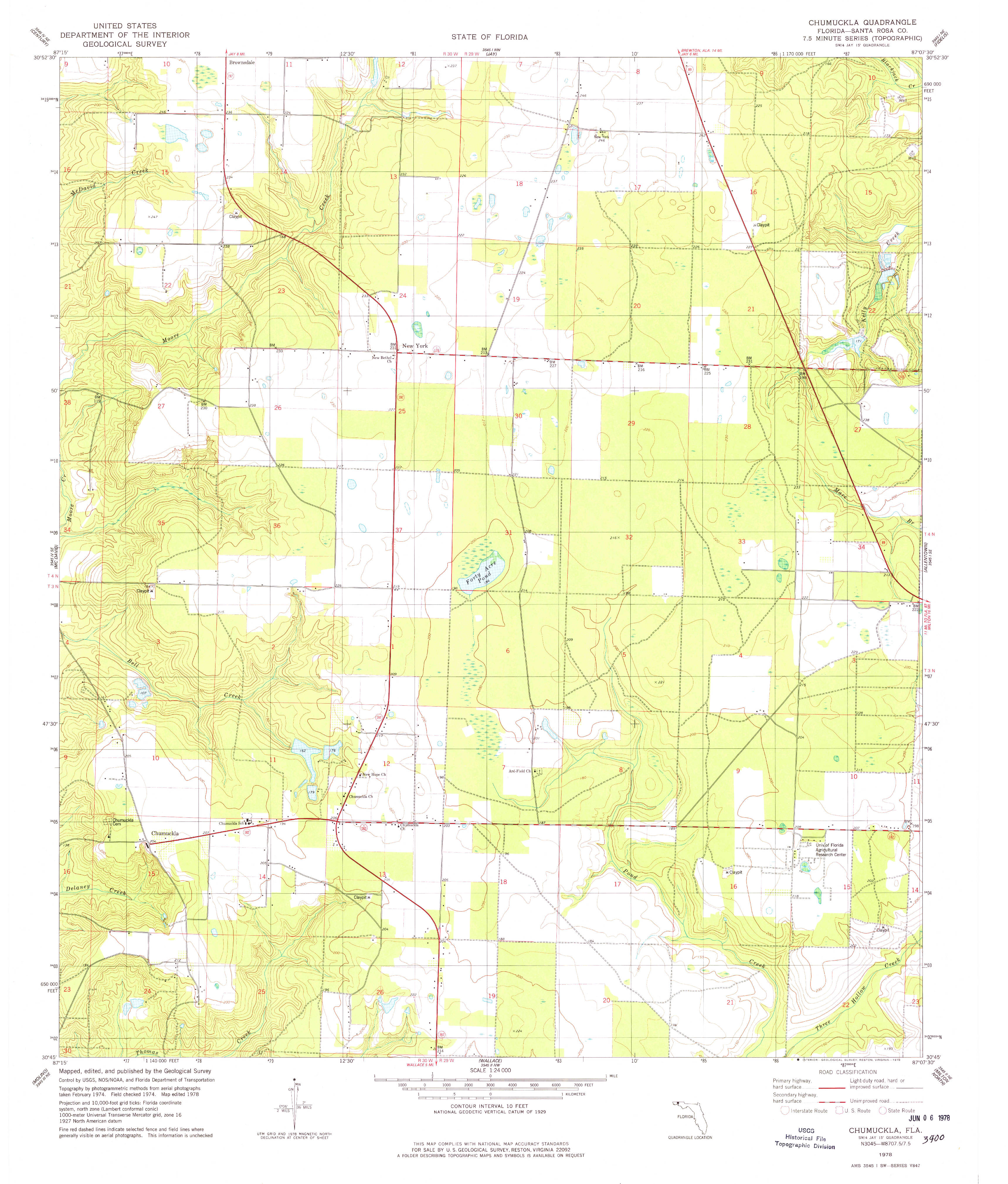
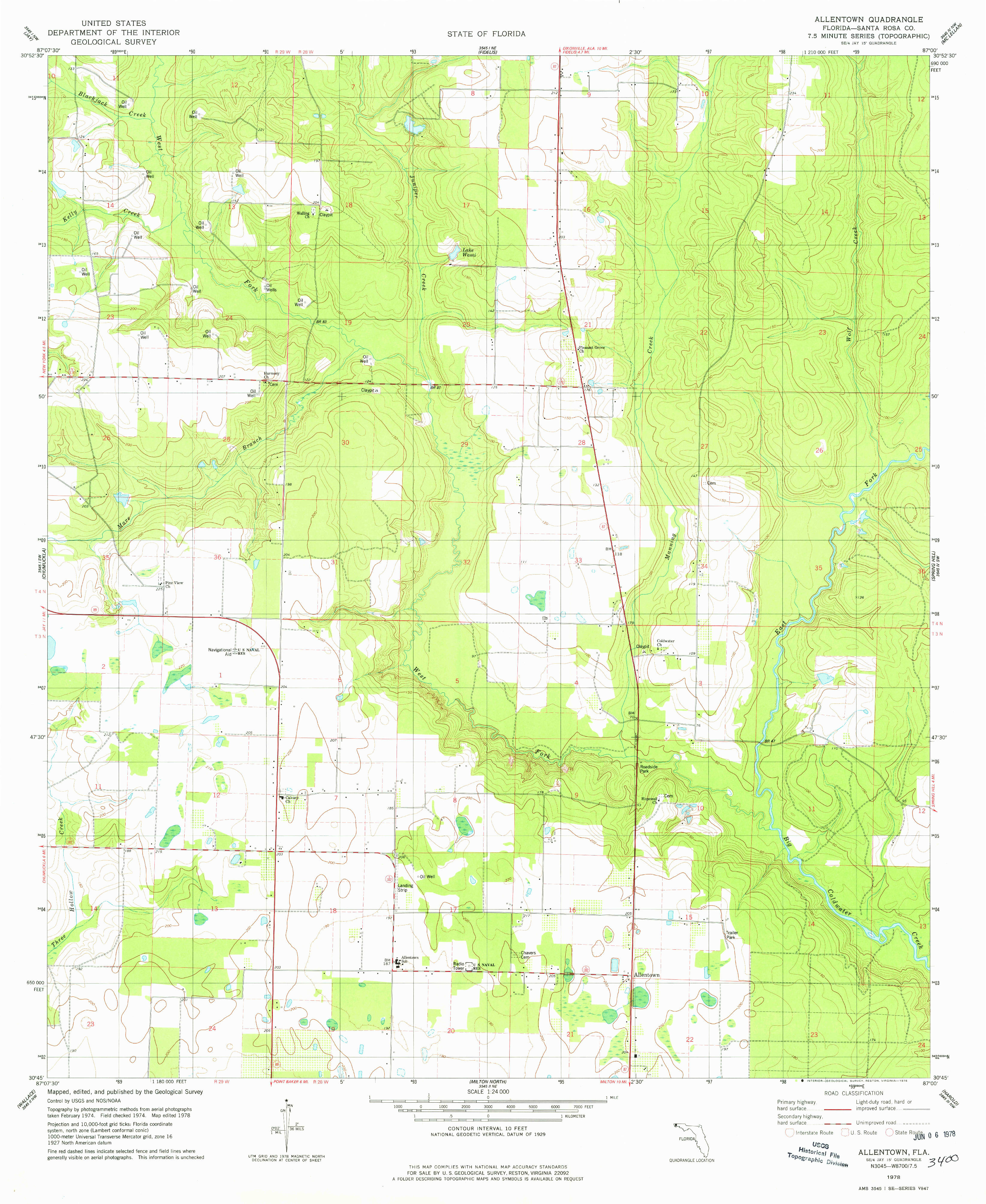
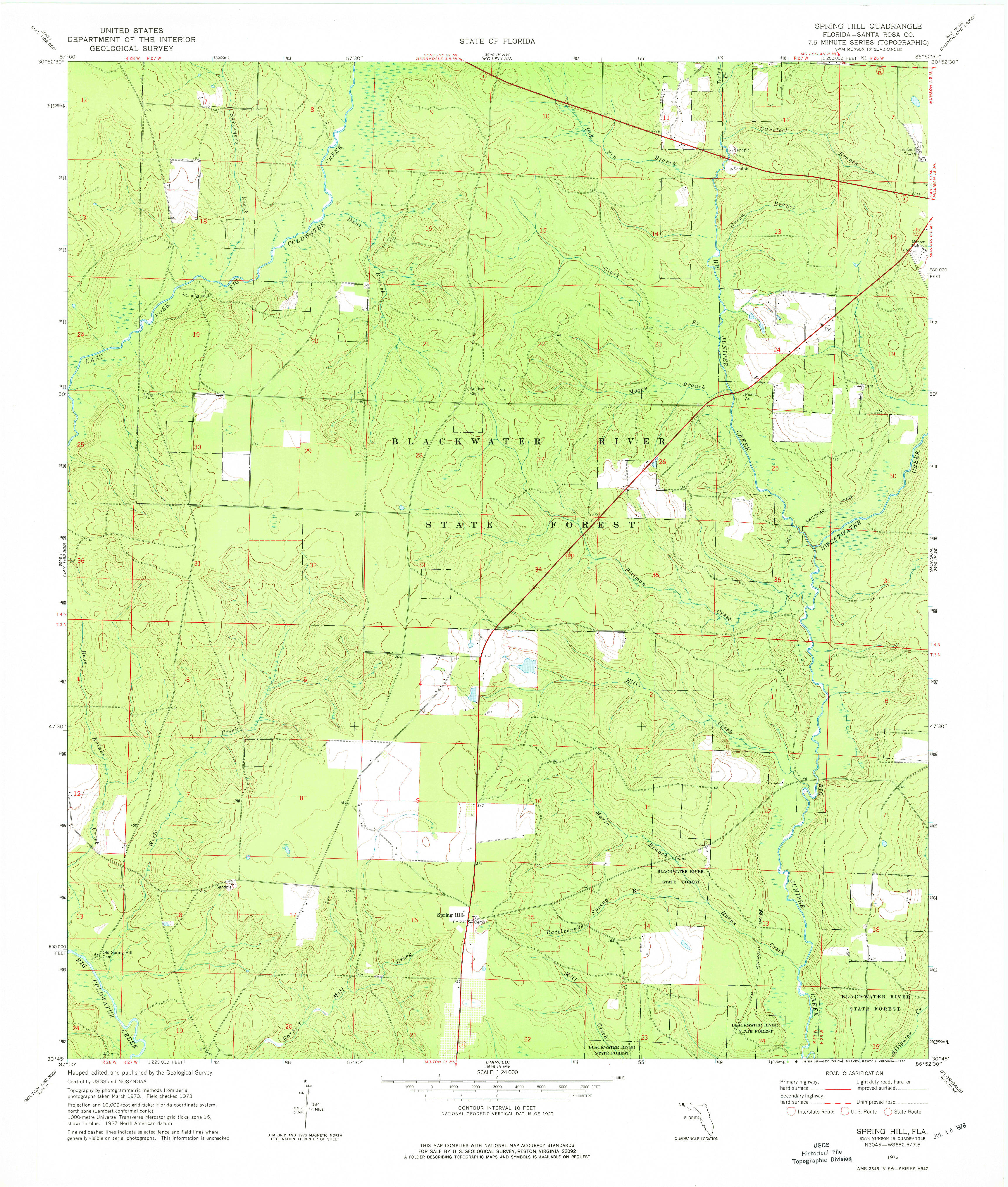
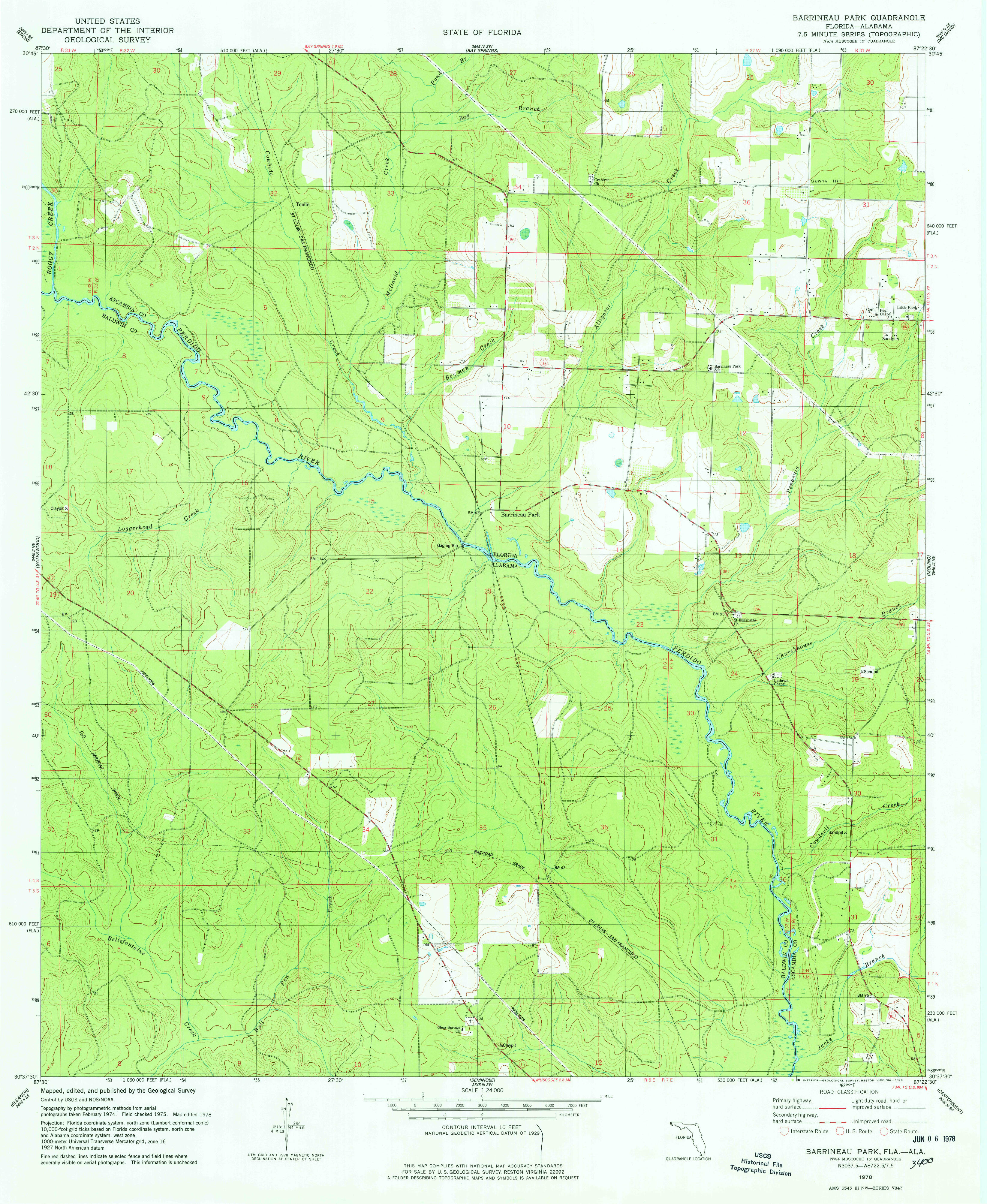
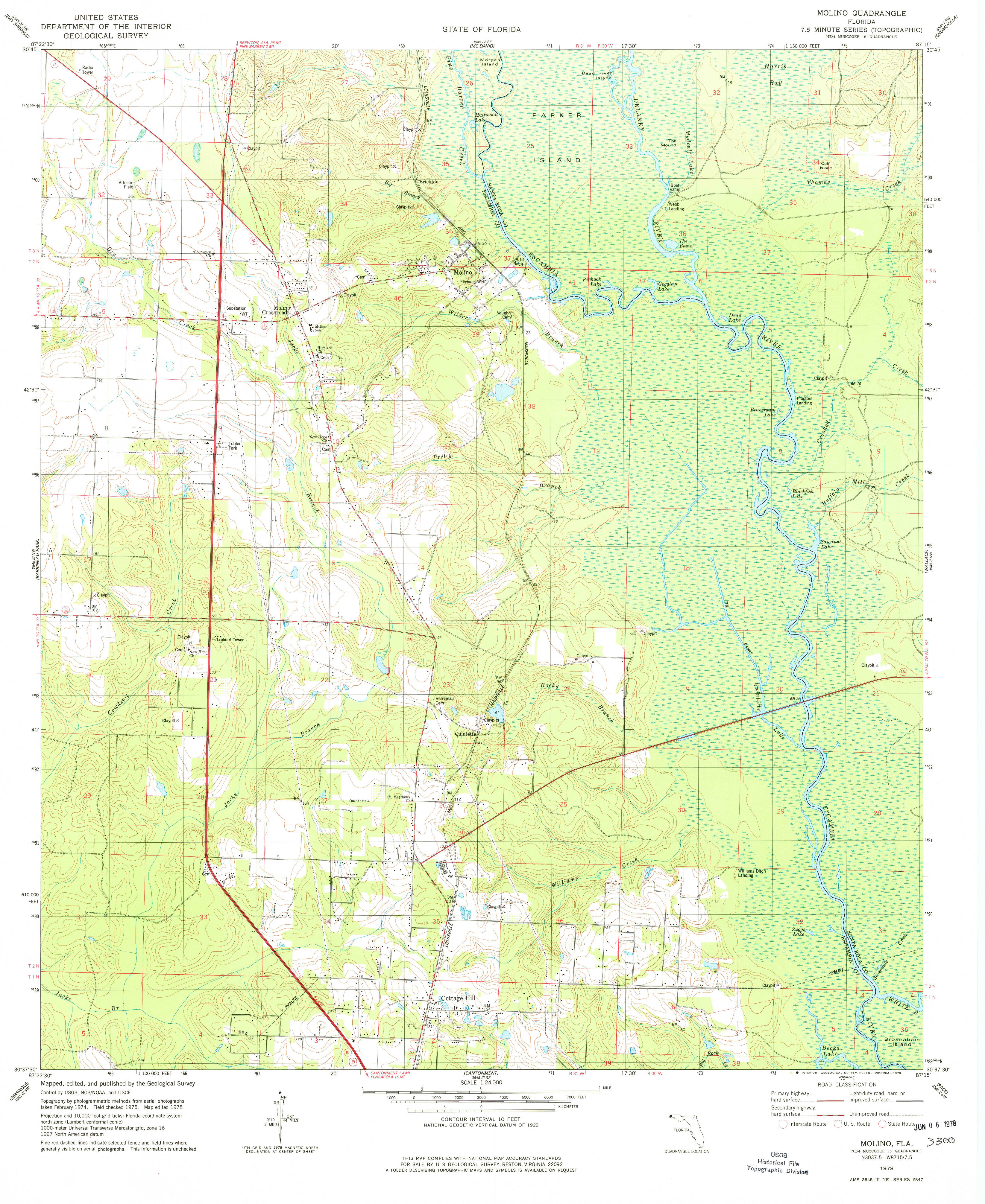
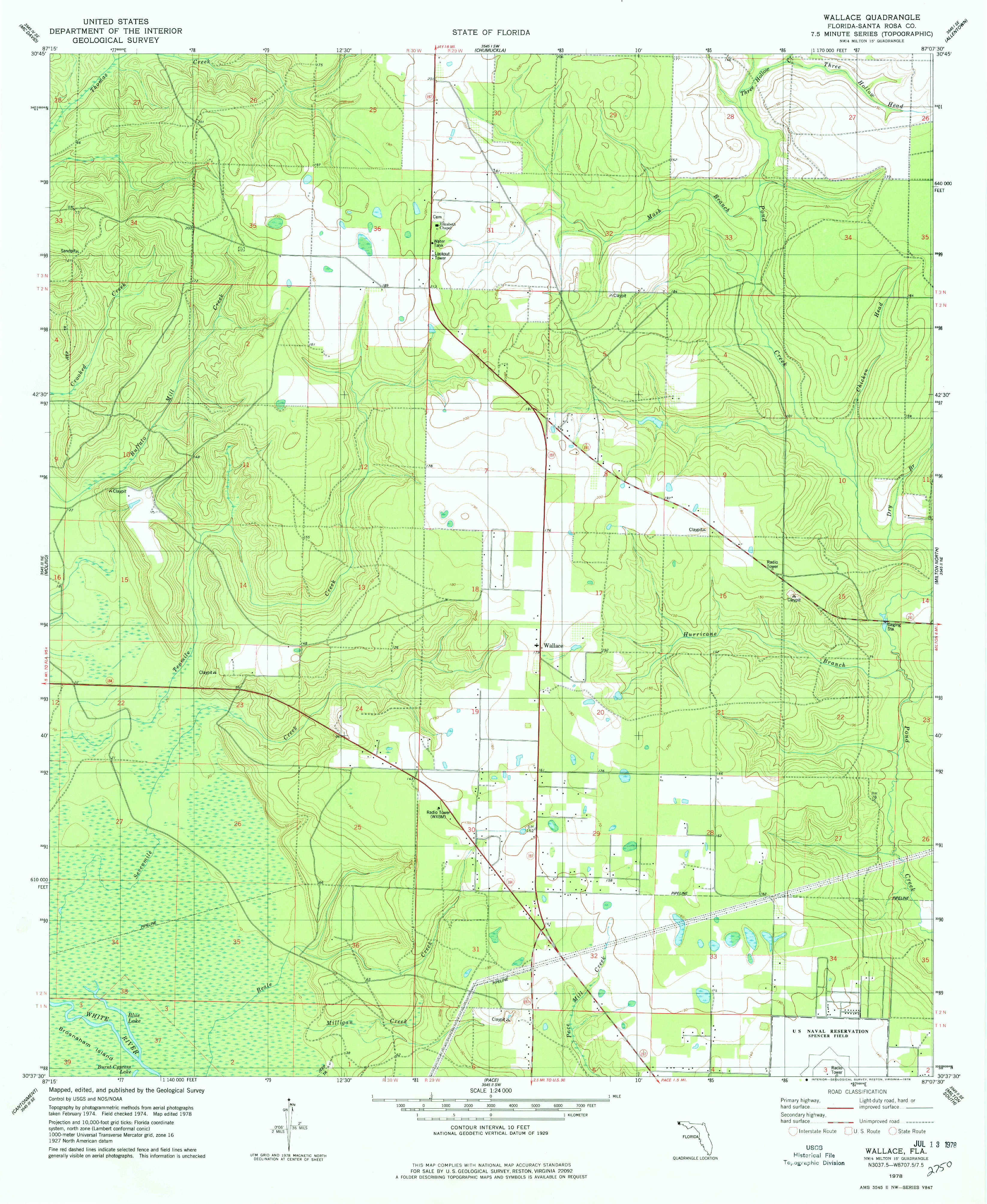
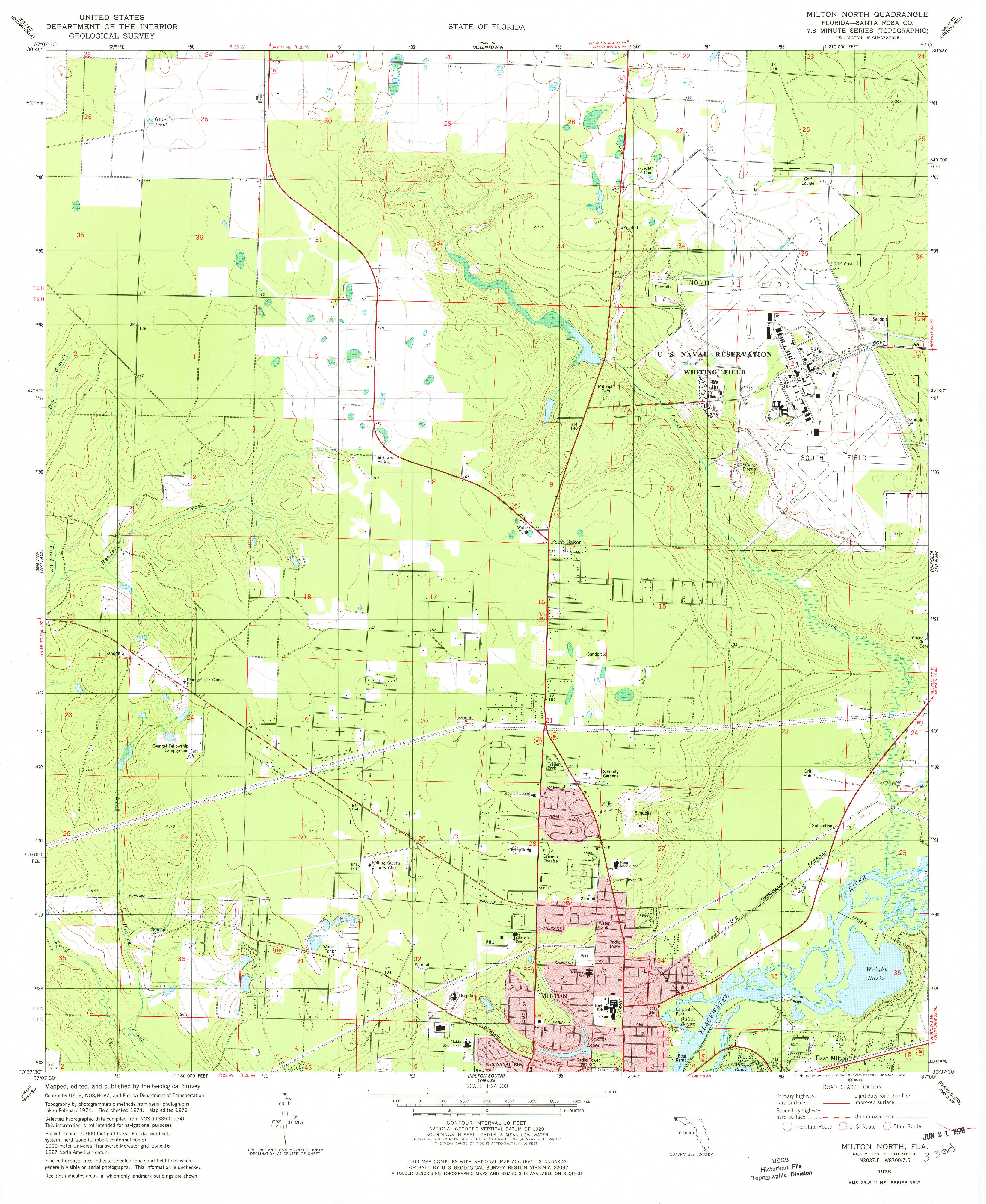
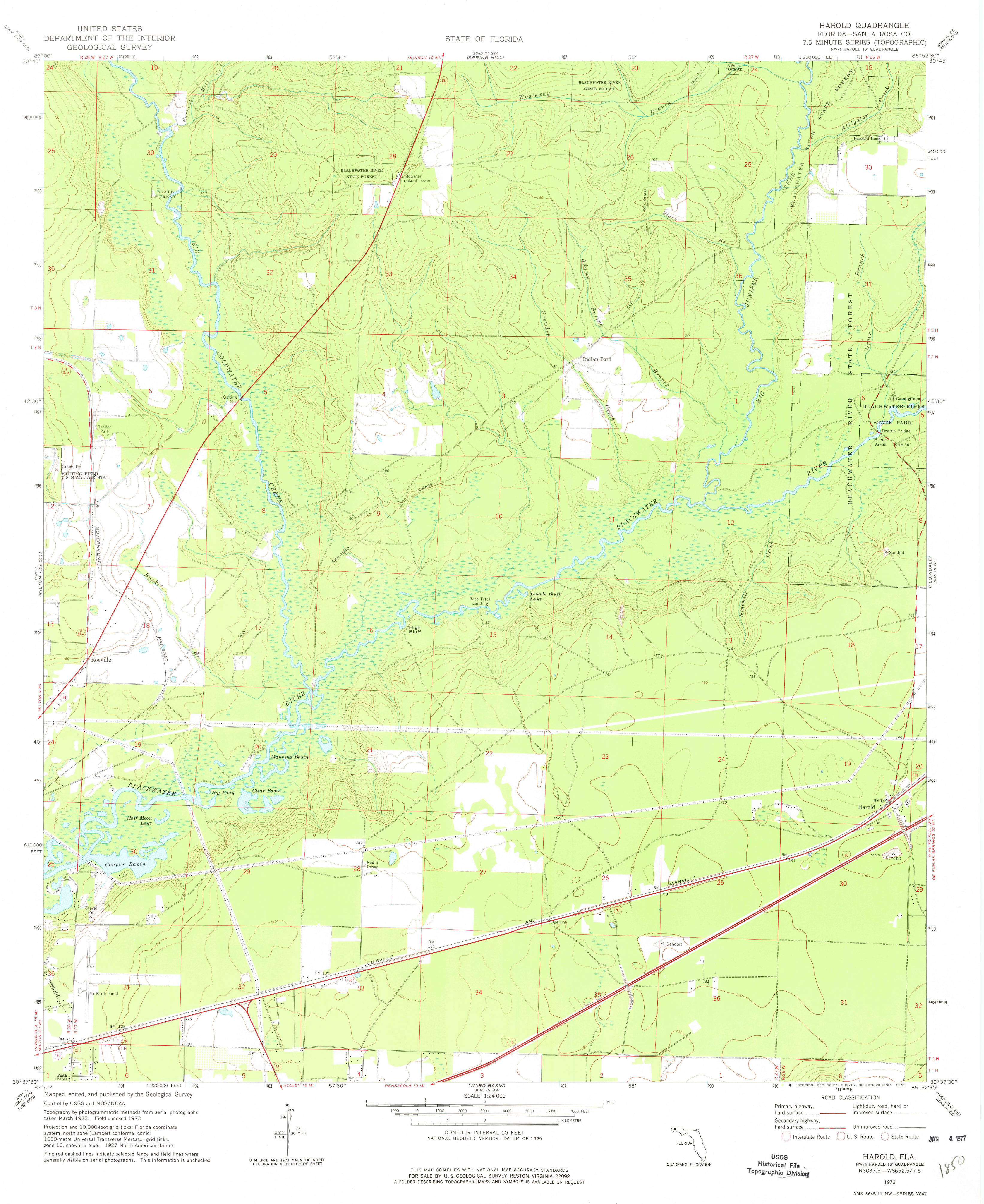
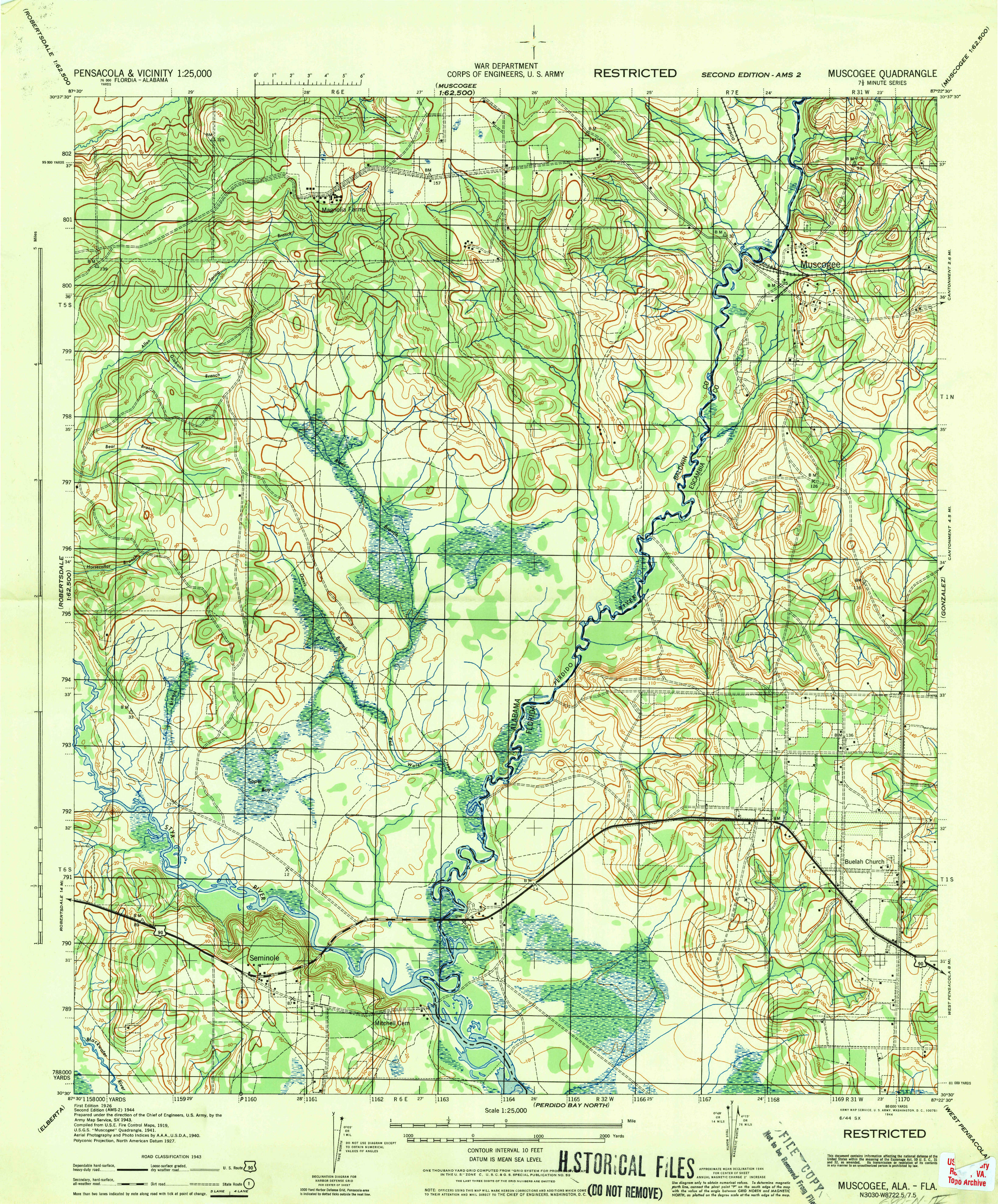
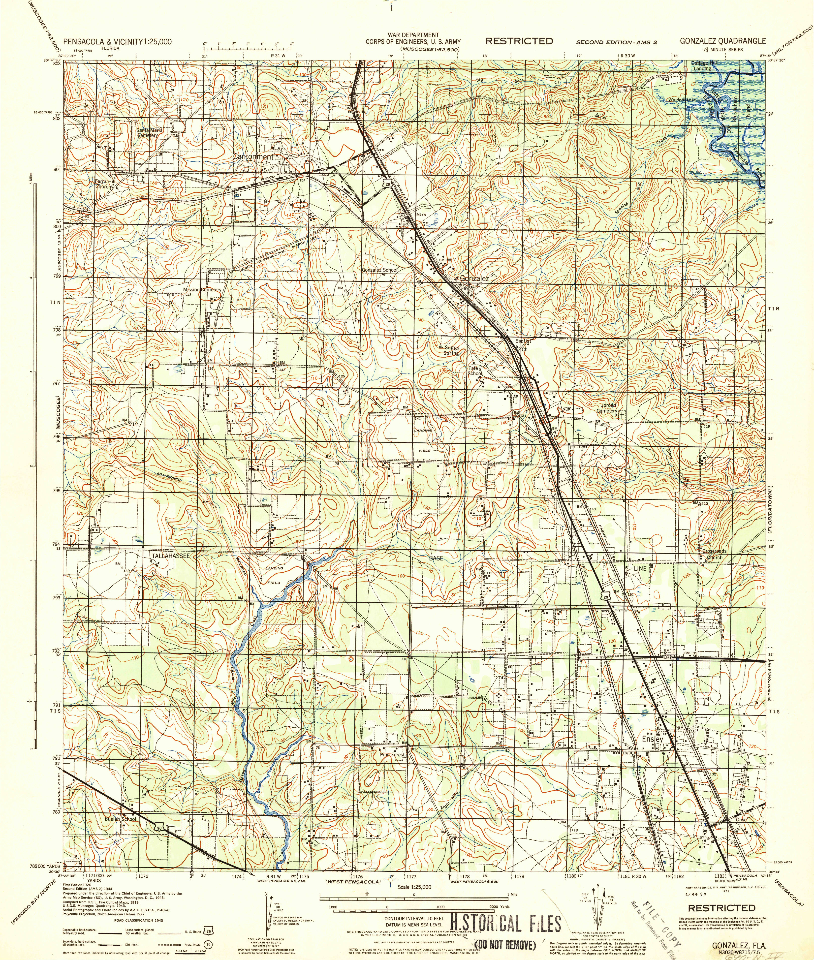
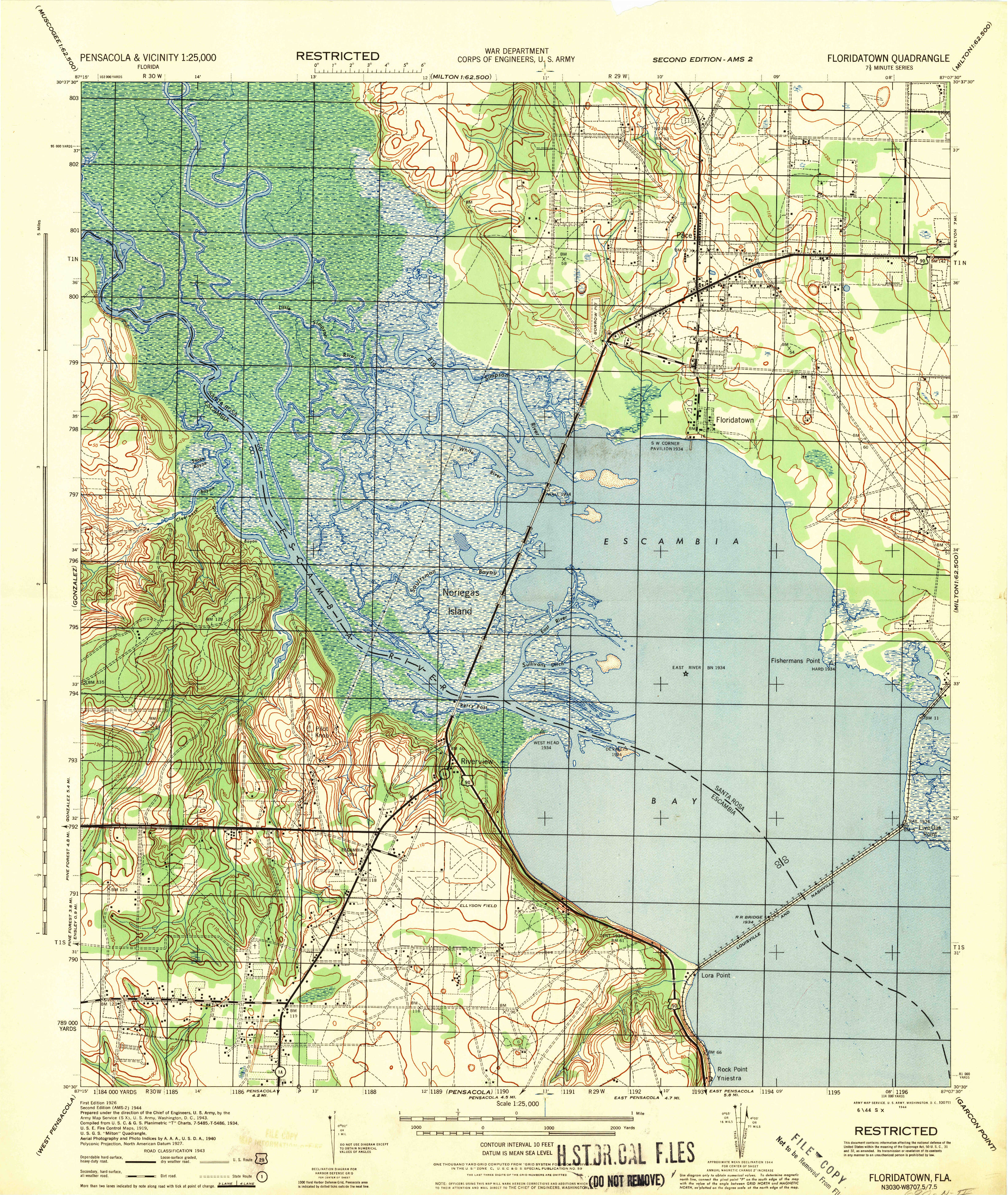
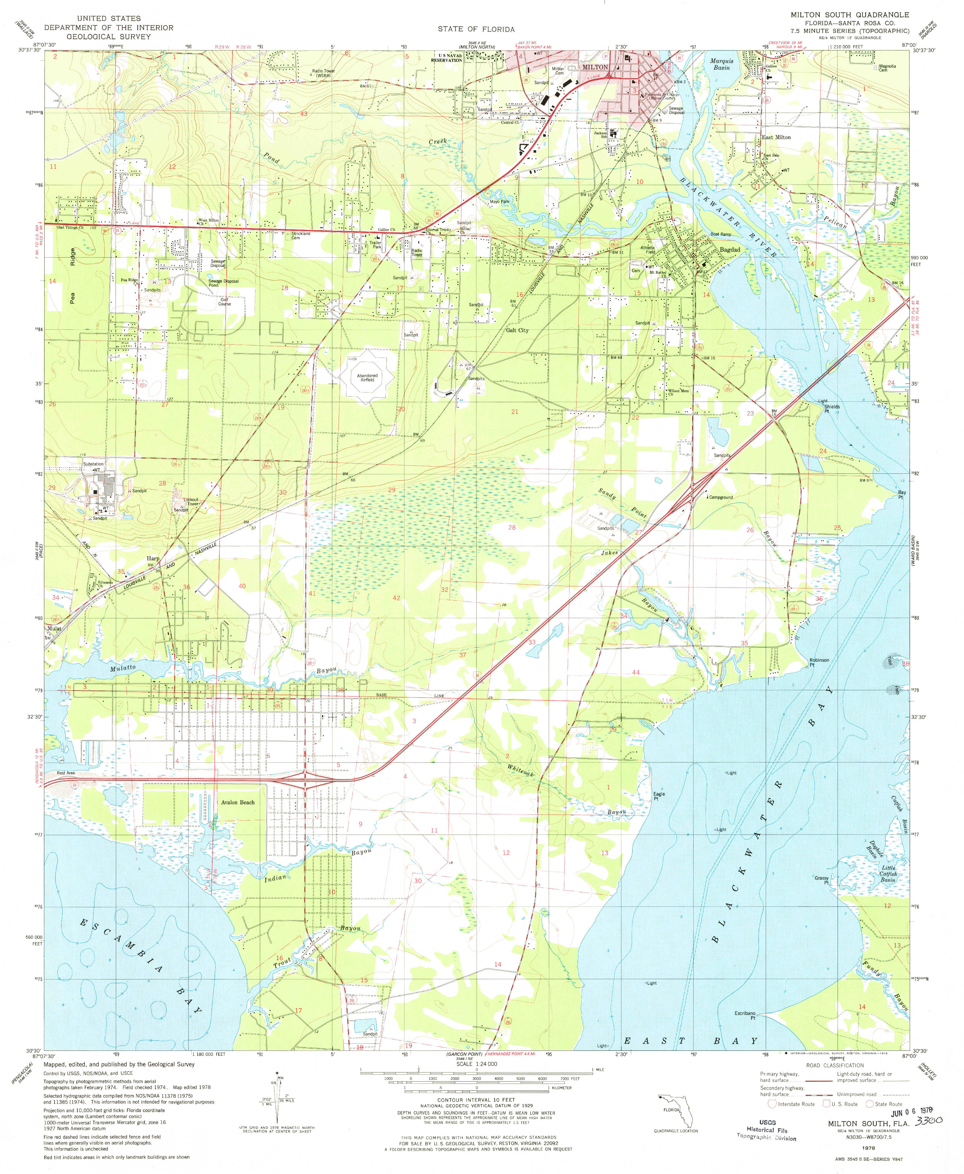
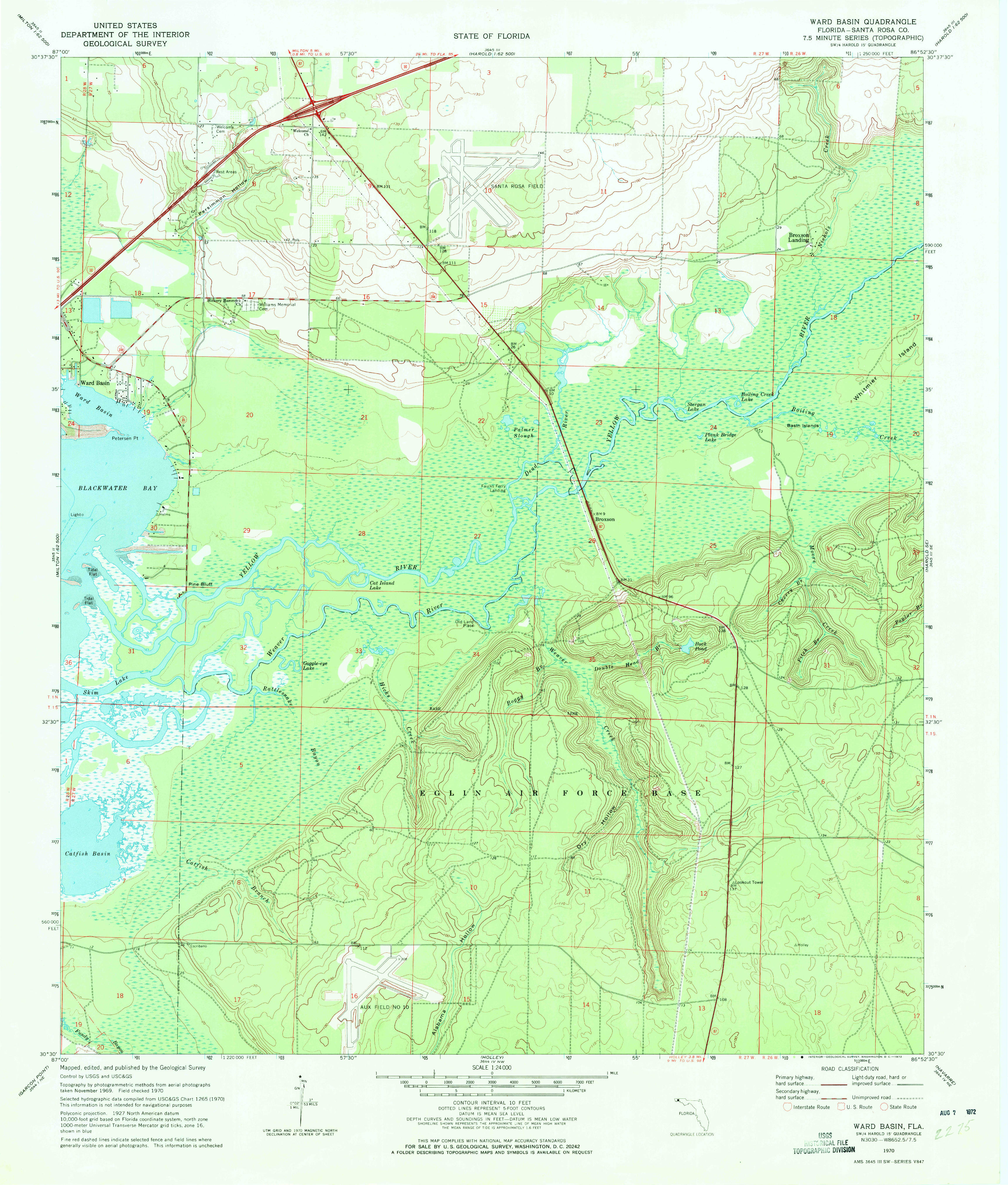
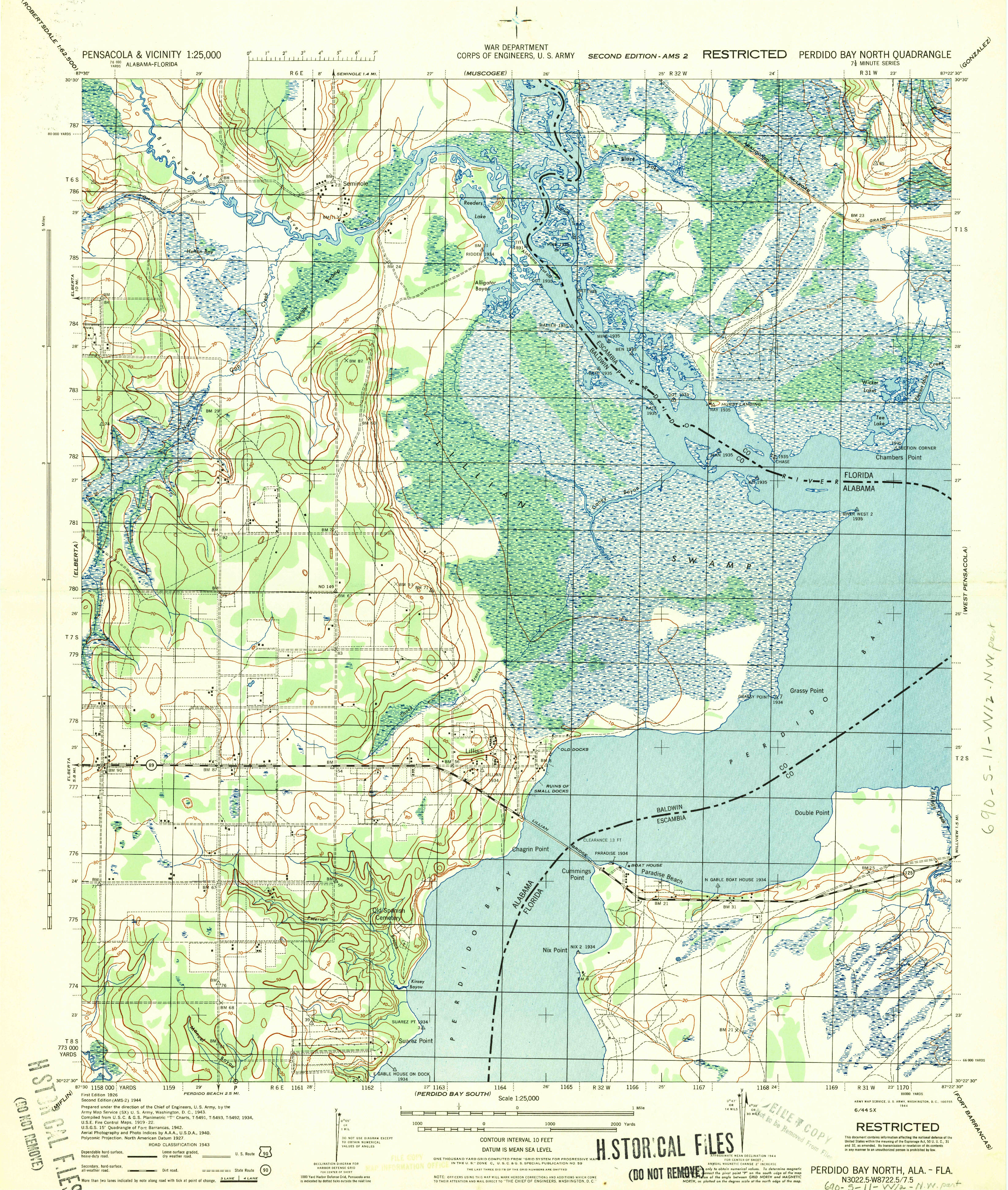
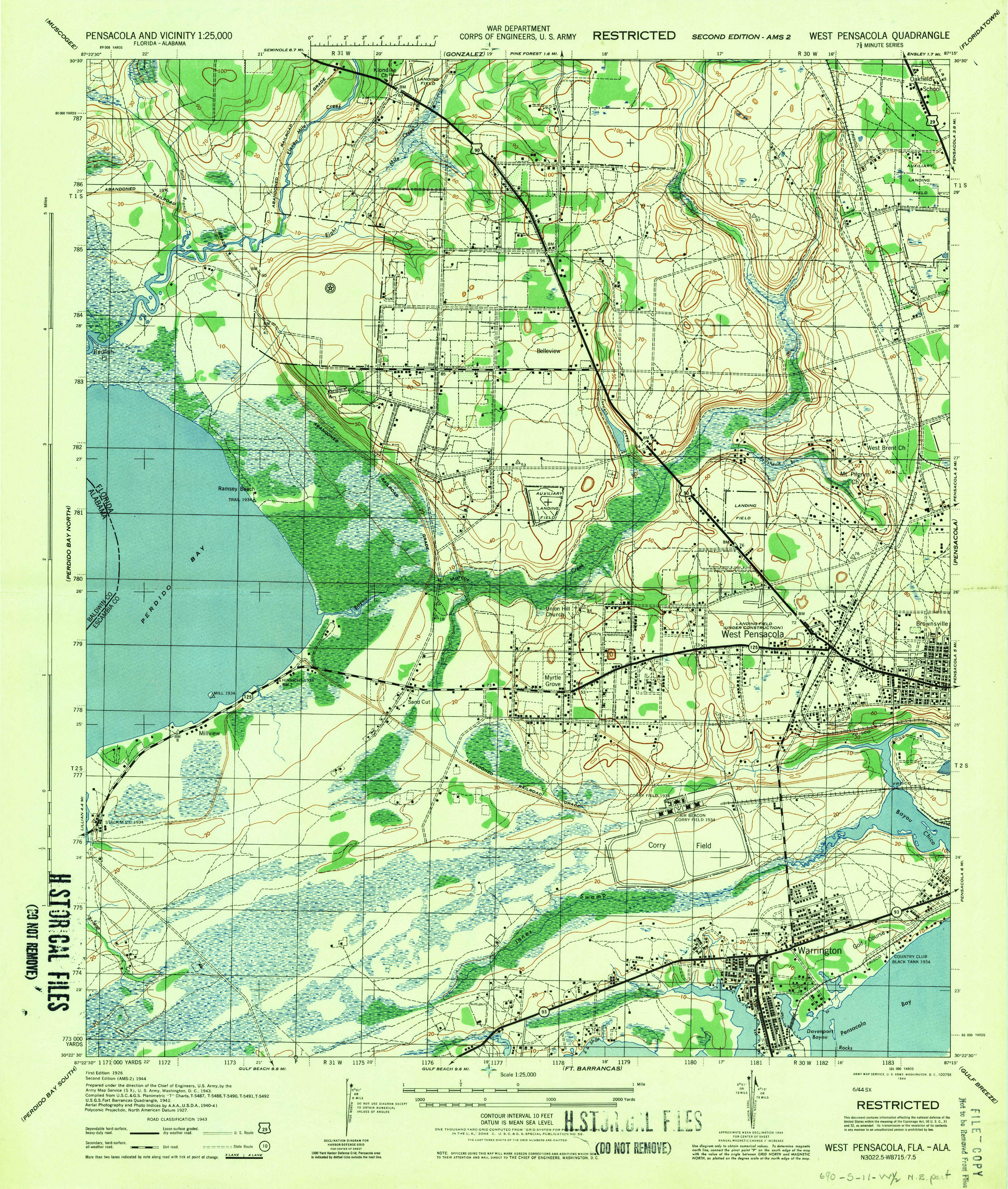
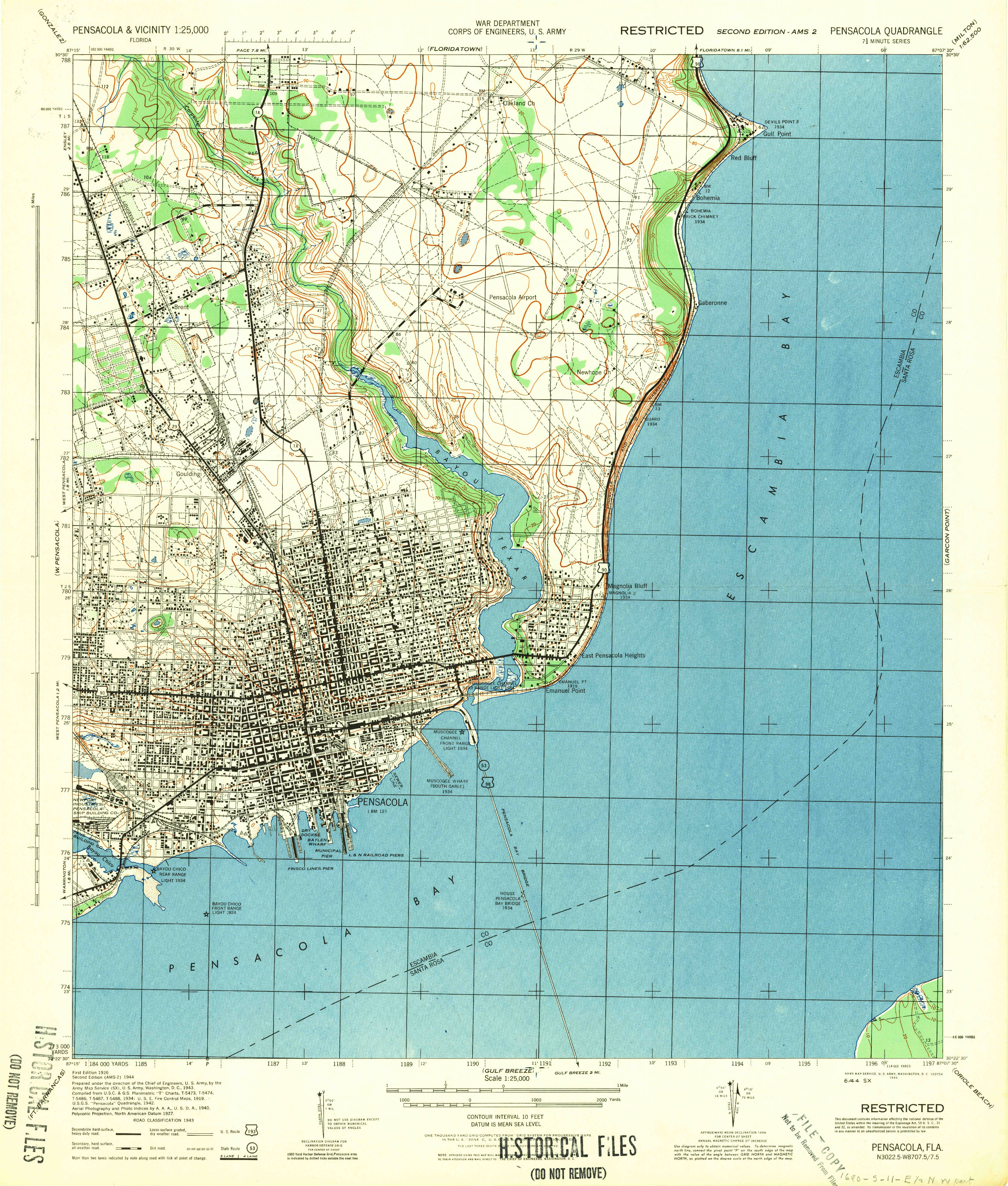
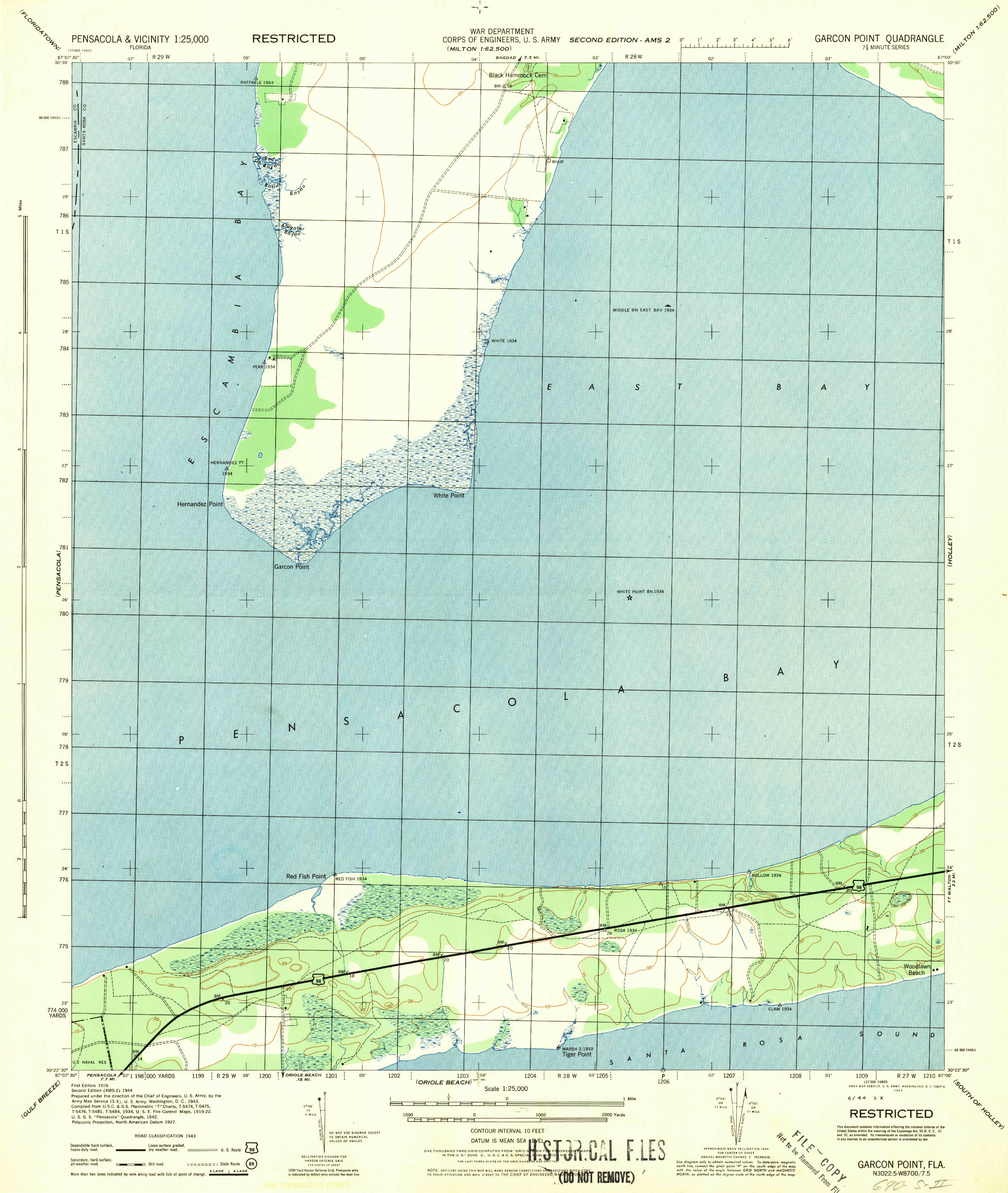
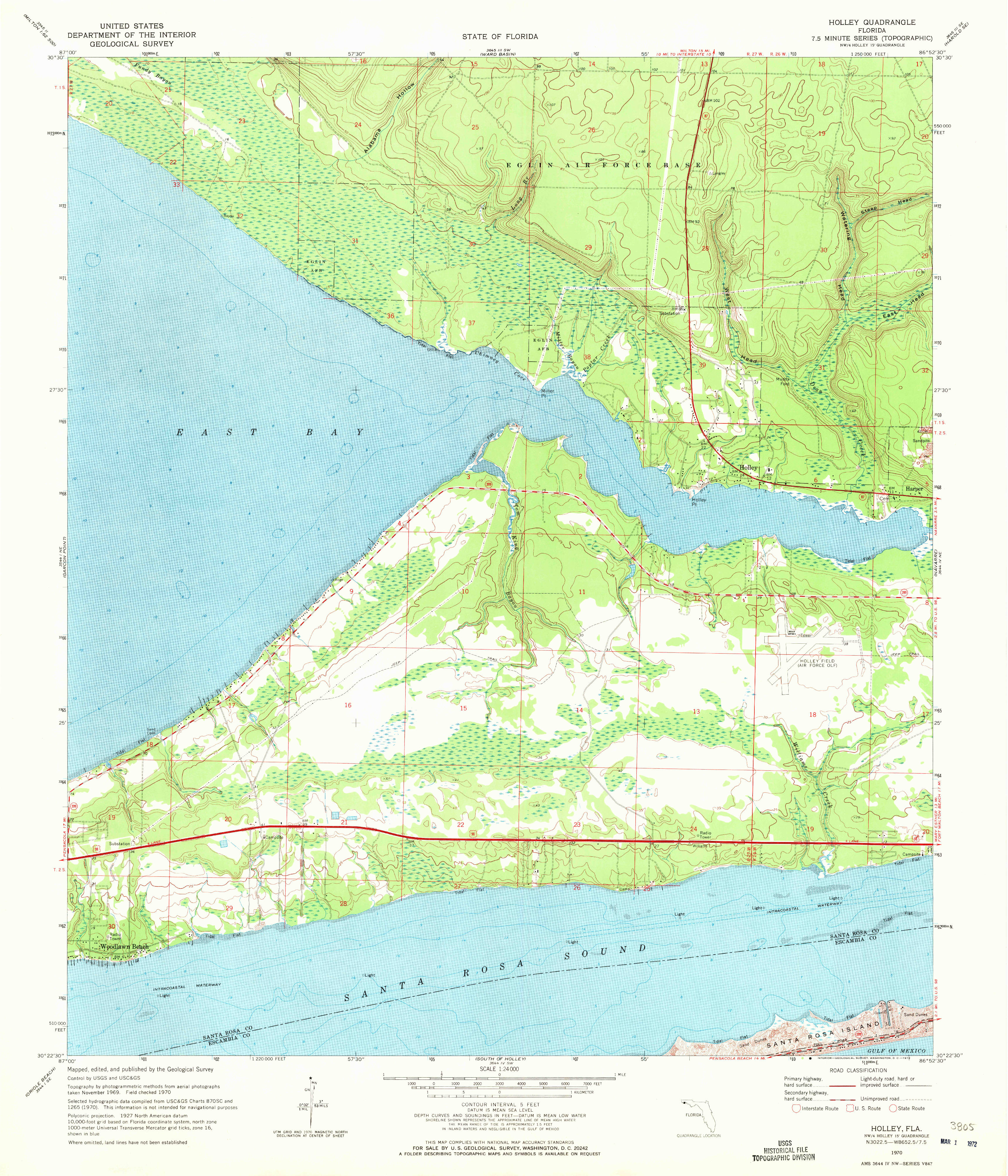
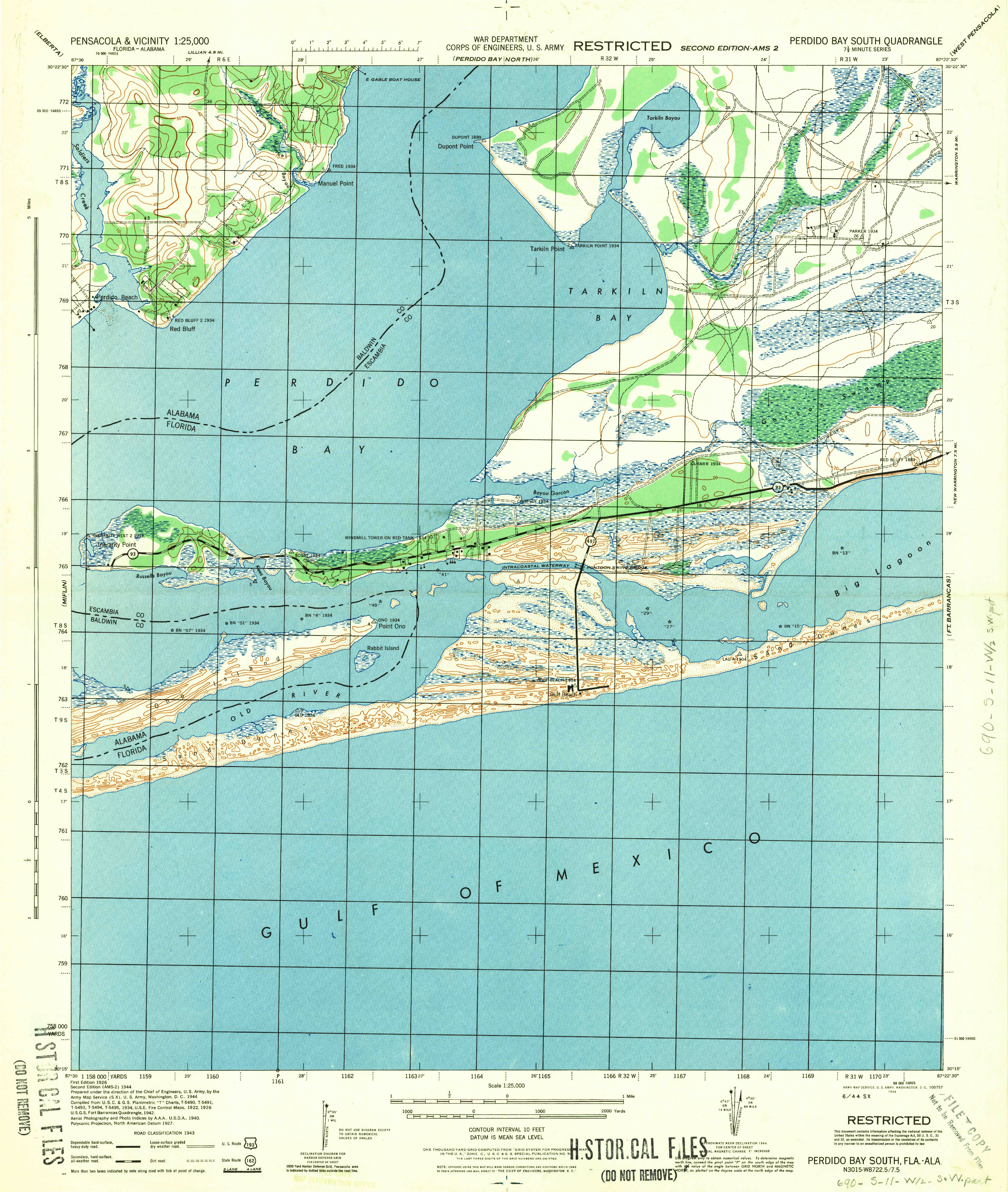
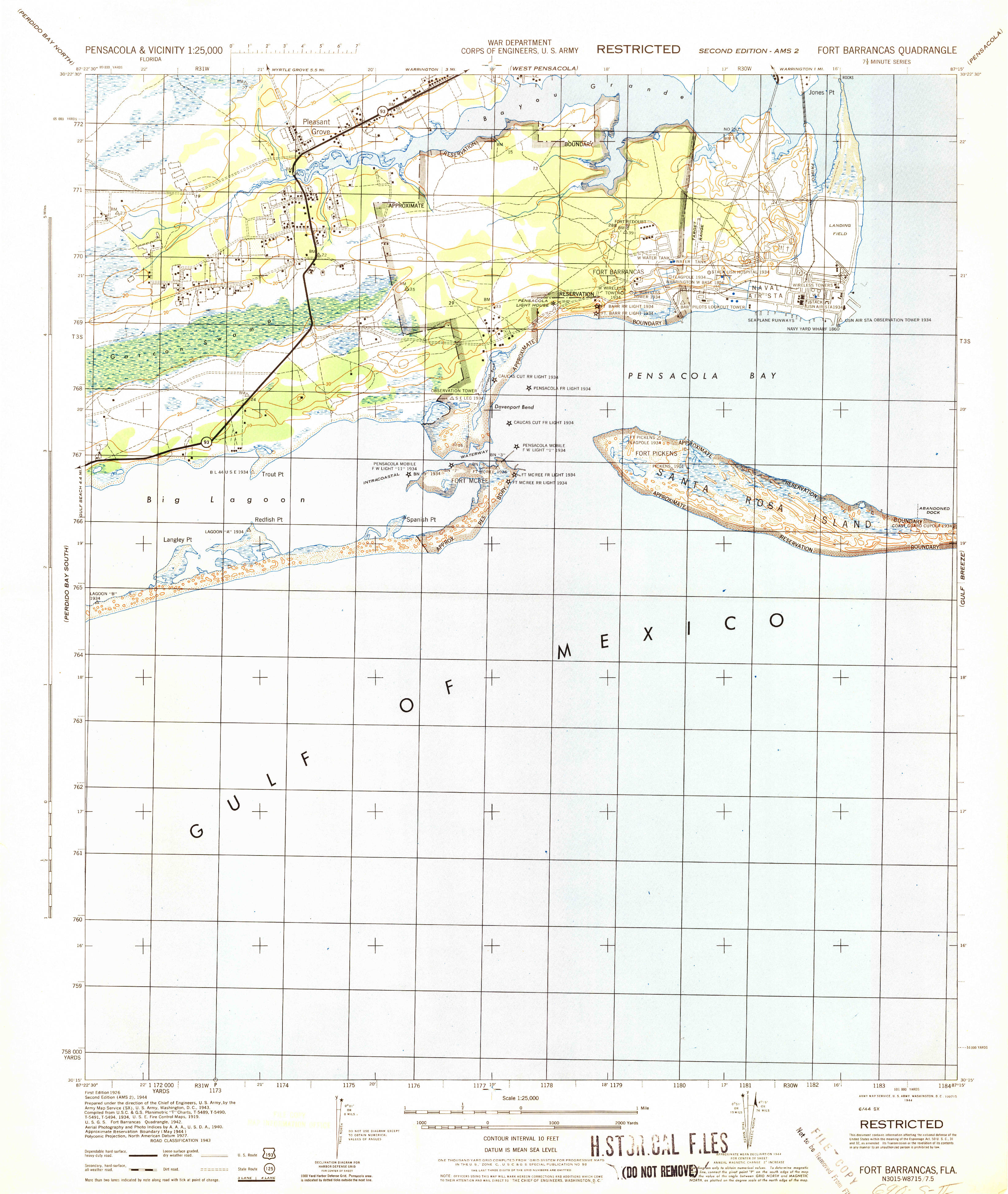
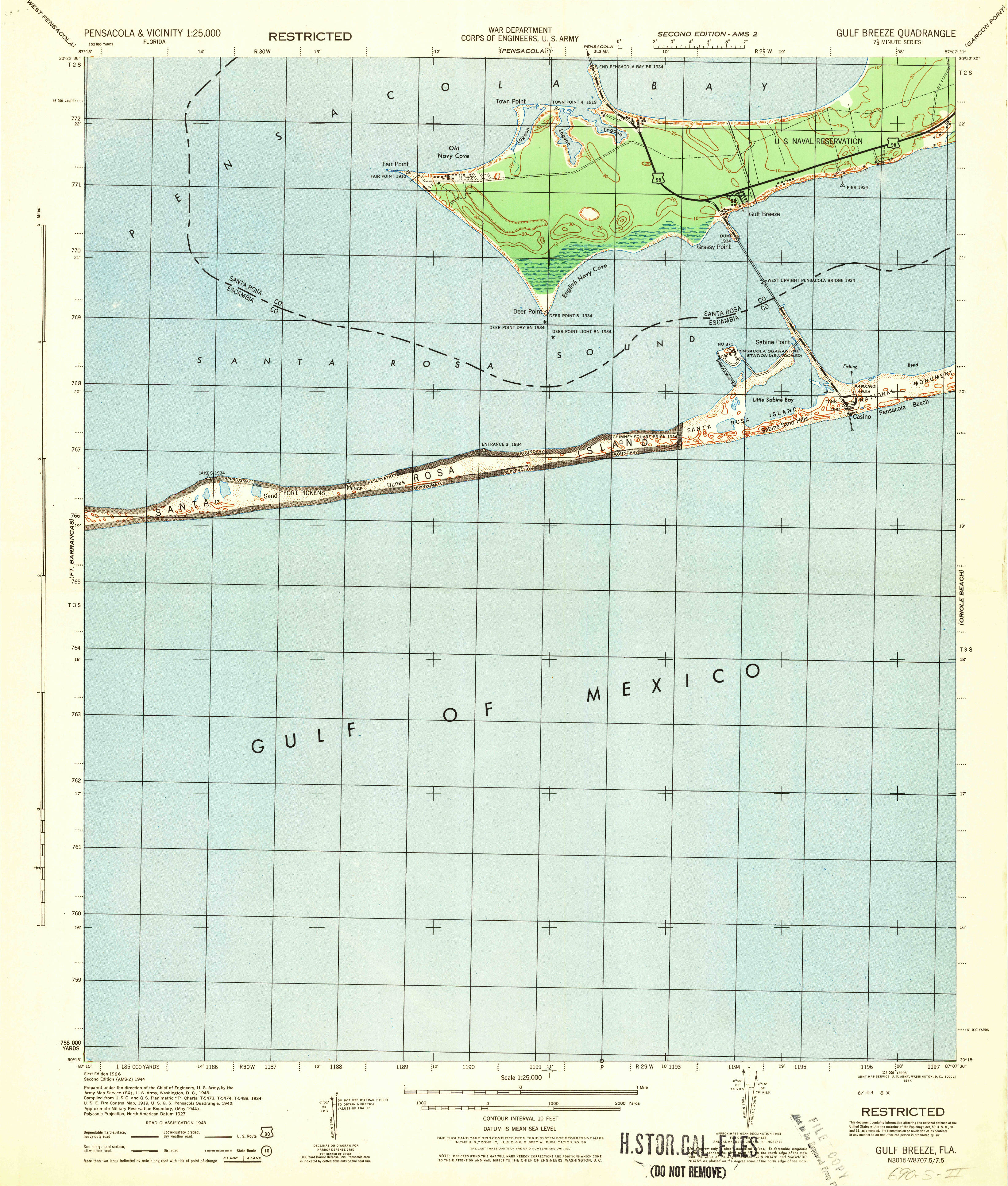
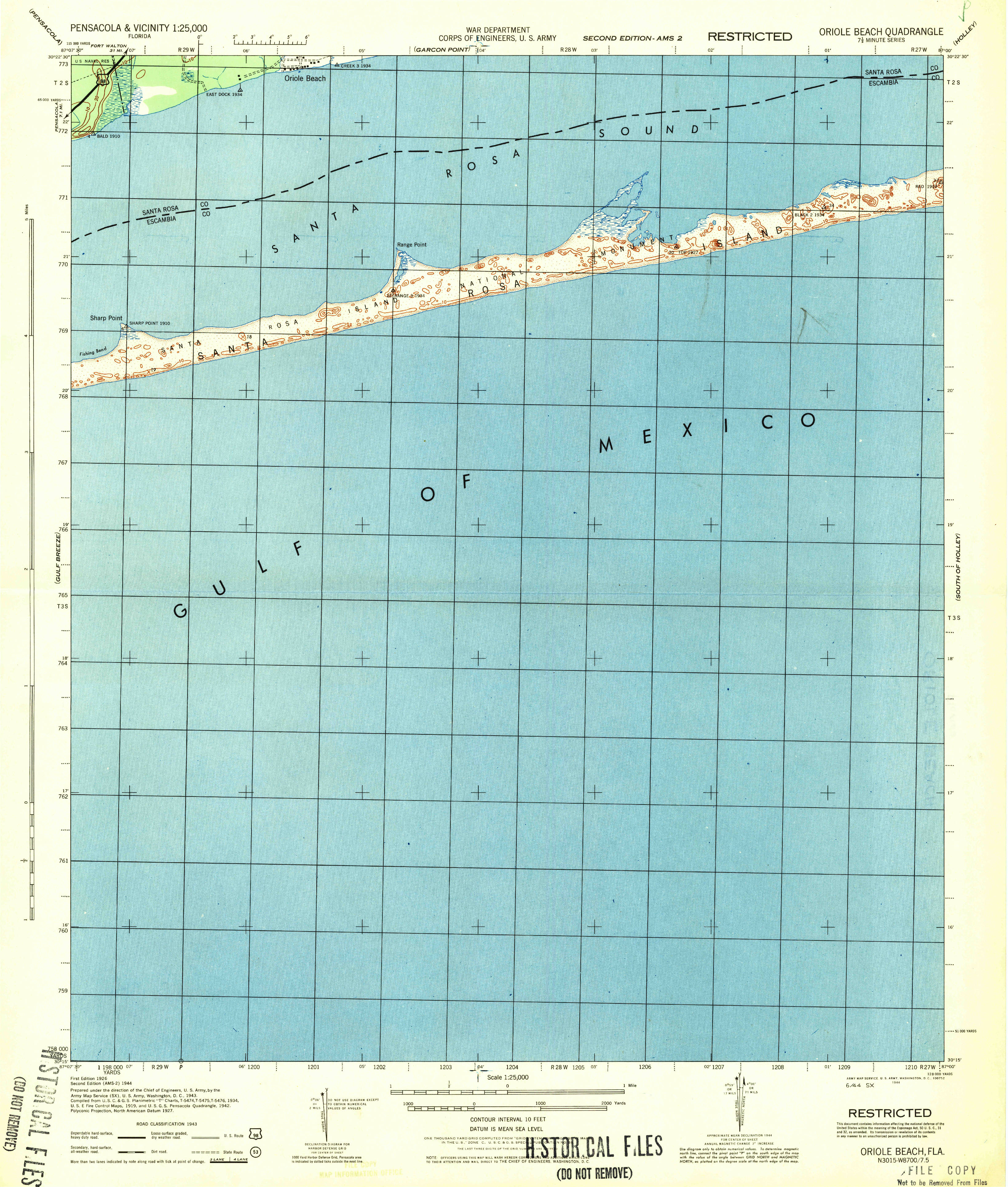
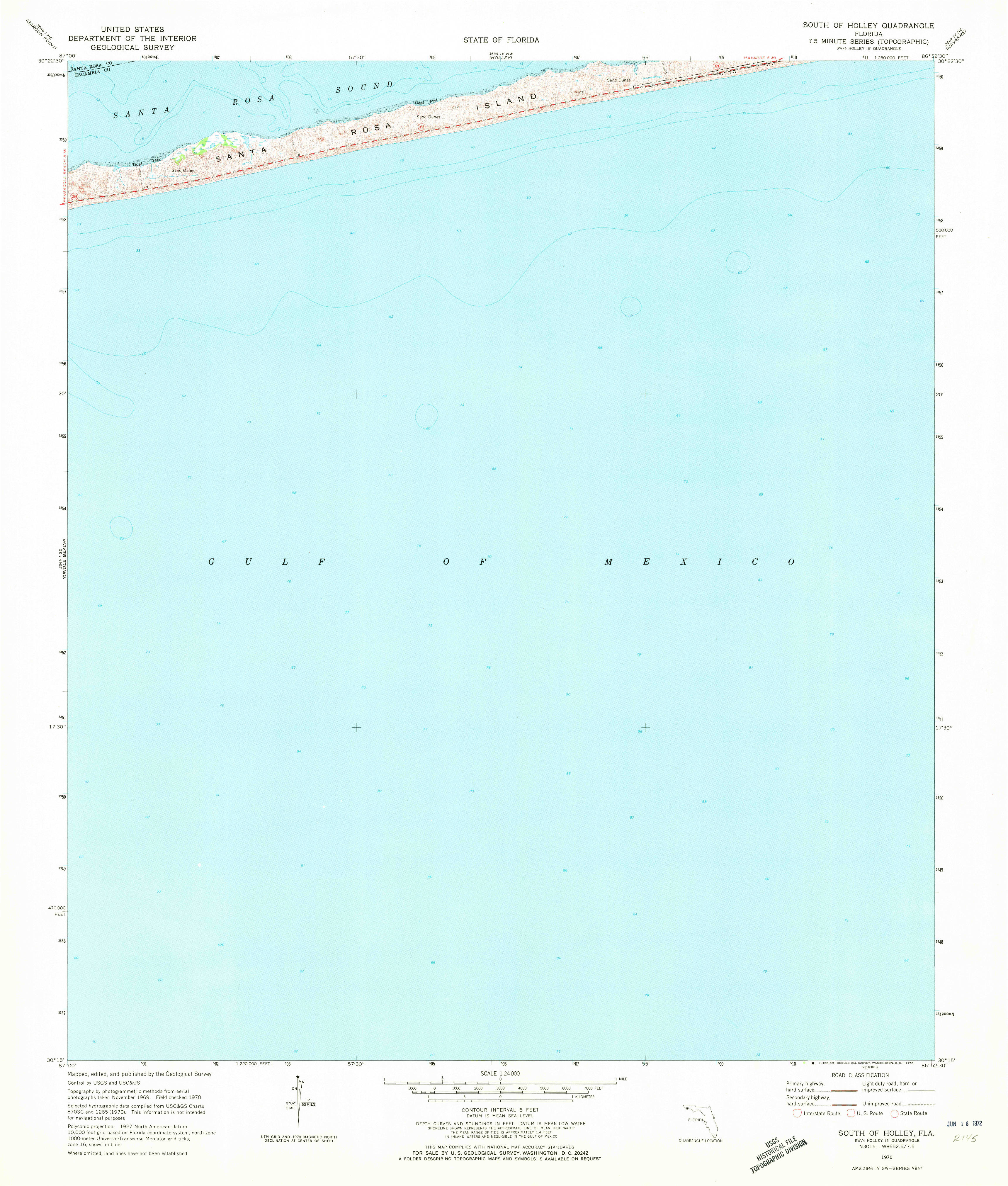
Historical topographic maps from the mid-20th century can be useful sources of information about both natural and cultural features of the landscape, particularly since in many cases they predate more recent landscape modifications (and are far less "cluttered"). Below are thumbnails of pre-modern USGS topographic maps (7.5 minute quad sheets) for the area around Pensacola, most from 1944, but others not completed at this scale until 1970-1978. These Pensacola maps (and many more, from different years and downloadable in many formats) can be found at the USGS TopoView site here.
 |
 |
 |
 |
 |
 |
 |
 |
 |
 |
 |
 |
 |
 |
 |
 |
 |
 |
 |
 |
 |
 |
 |
 |
 |